Transport Functions
Rail
Road
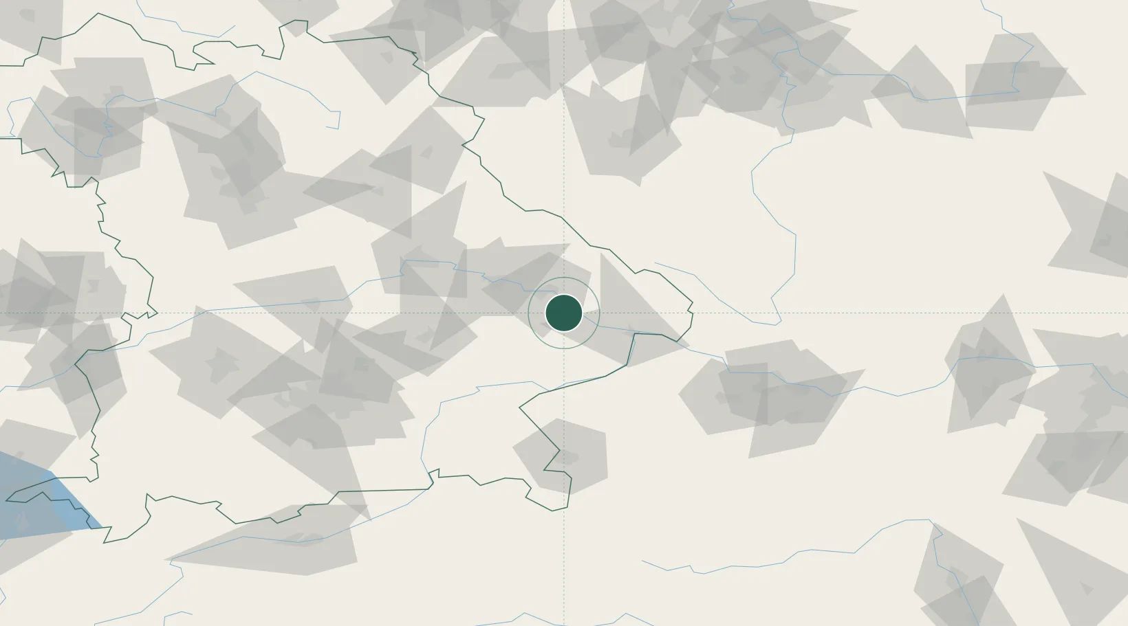
Hub Profile
Place type
Populated place
Region
Bavaria
Population
11,870
Time zone
Europe/Berlin
Elevation
319 m
Location
Nearby Logistics Neighbours
Cities
- 1Winzer5 km
- 2Rossbach13 km
- 3Deggenau13 km
- 4Vilshofen14 km
- 5Munchsdorf16 km
Ports
- 1Monfalcone327 km
- 2Nogaro327 km
- 3Grado335 km
- 4Trieste344 km
- 5Muggia349 km
Airports
- 1Landshut Airfield75 km
- 2Munich Airport99 km
- 3Linz-Hörsching Airport101 km
- 4Salzburg Airport101 km
- 5Hohenfels Army Airfield104 km
Trade Zones
DatabookThe Record of Consolidated Knowledge
Germany beyond logistics?