Transport Functions
Port
Rail
Road
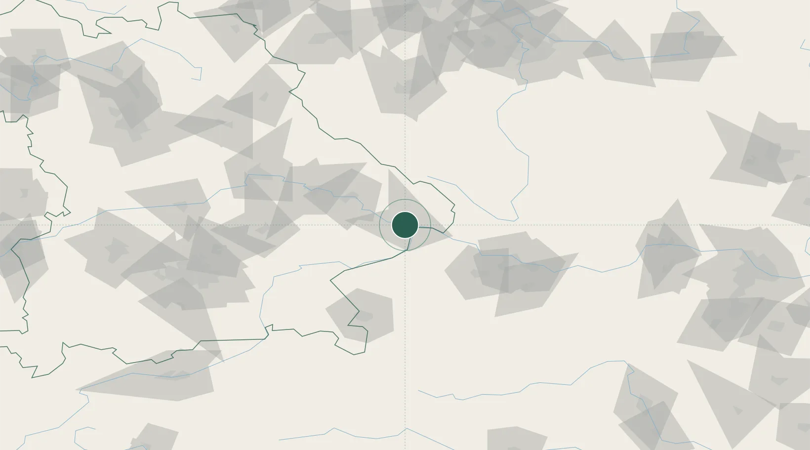
Hub Profile
Place type
District seat
Region
Bavaria
Population
50,560
Time zone
Europe/Berlin
Elevation
366 m
Logistics facilities
1
Location
Nearby Logistics Neighbours
Cities
- 1Schalding3 km
- 2Ruderting7 km
- 3Salzweg8 km
- 4Hutthurm11 km
- 5Neuburg Am Inn11 km
Ports
- 1Monfalcone313 km
- 2Nogaro315 km
- 3Grado322 km
- 4Trieste328 km
- 5Muggia334 km
Airports
- 1Linz-Hörsching Airport71 km
- 2České Budějovice South Bohemian Airport86 km
- 3Salzburg Airport93 km
- 4Landshut Airfield100 km
- 5Plzeň-Líně Airport121 km
Trade Zones
DatabookThe Record of Consolidated Knowledge
Germany beyond logistics?