Transport Functions
Multimodal
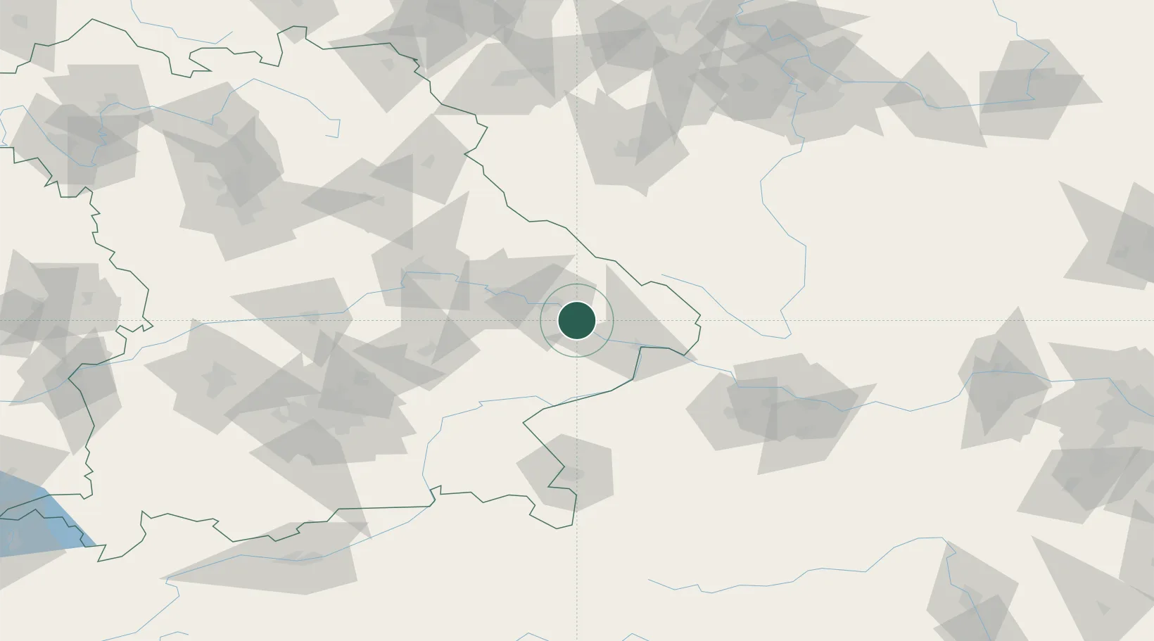
Hub Profile
Place type
Populated place
Region
Bavaria
Population
3,964
Time zone
Europe/Berlin
Elevation
312 m
Location
Nearby Logistics Neighbours
Cities
- 1Osterhofen5 km
- 2Deggenau11 km
- 3Vilshofen14 km
- 4Rossbach18 km
- 5Bischofsmais20 km
Ports
- 1Monfalcone330 km
- 2Nogaro331 km
- 3Grado338 km
- 4Trieste347 km
- 5Muggia352 km
Airports
- 1Landshut Airfield80 km
- 2Linz-Hörsching Airport100 km
- 3České Budějovice South Bohemian Airport103 km
- 4Munich Airport103 km
- 5Salzburg Airport105 km
Trade Zones
DatabookThe Record of Consolidated Knowledge
Germany beyond logistics?