Transport Functions
Port
Rail
Road
Hub Profile
Region
BY
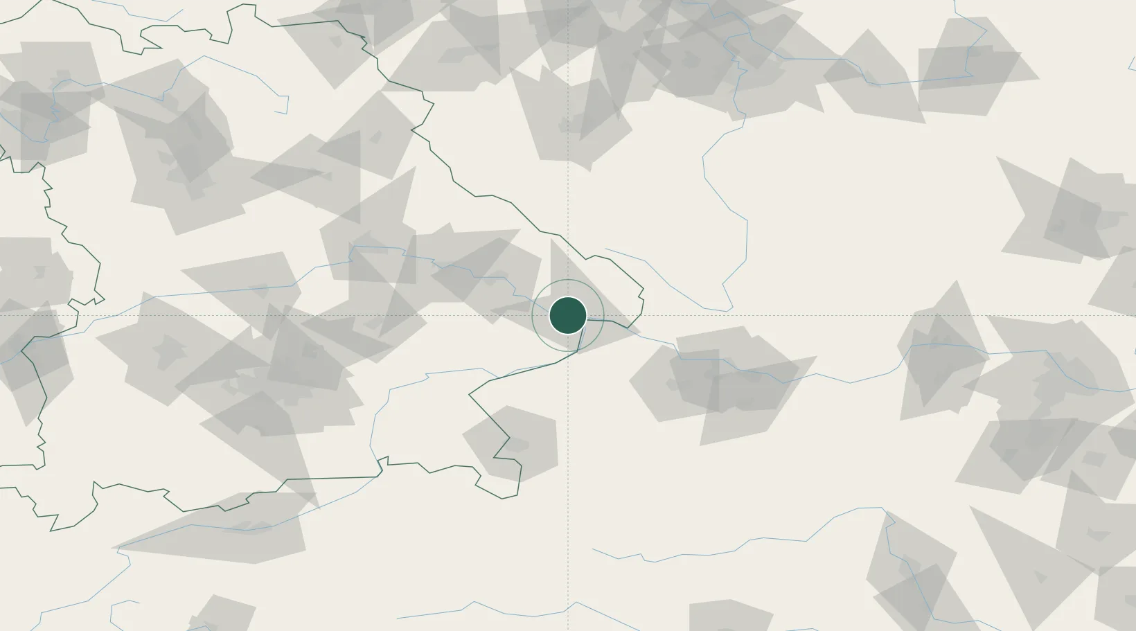
Location
Nearby Logistics Neighbours
Ports
- 1Monfalcone314 km
- 2Nogaro316 km
- 3Grado323 km
- 4Trieste329 km
- 5Muggia335 km
Airports
- 1Linz-Hörsching Airport74 km
- 2České Budějovice South Bohemian Airport88 km
- 3Salzburg Airport93 km
- 4Landshut Airfield97 km
- 5Munich Airport119 km
Trade Zones
DatabookThe Record of Consolidated Knowledge
Germany beyond logistics?