Transport Functions
Multimodal
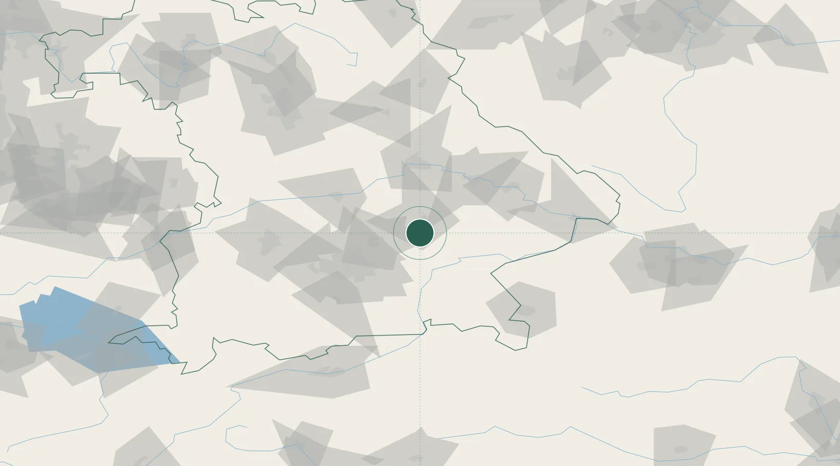
Hub Profile
Region
BY
Location
Nearby Logistics Neighbours
Cities
- 1Tiefenbach (Bei Landshut)7 km
- 2Eching/Landshut10 km
- 3Velden (Vils)12 km
- 4Vilsbiburg15 km
- 5Blumberg15 km
Ports
- 1Nogaro309 km
- 2Monfalcone315 km
- 3Grado318 km
- 4Trieste334 km
- 5Porto Di Lido-Venezia338 km
Airports
- 1Landshut Airfield11 km
- 2Munich Airport29 km
- 3Ingolstadt Manching Airport54 km
- 4Altstetten Ultralight Field66 km
- 5Neuburg Air Base75 km
Trade Zones
DatabookThe Record of Consolidated Knowledge
Germany beyond logistics?