Transport Functions
Road
Multimodal
Hub Profile
Place type
Populated place
Region
Bavaria
Time zone
Europe/Berlin
Elevation
497 m
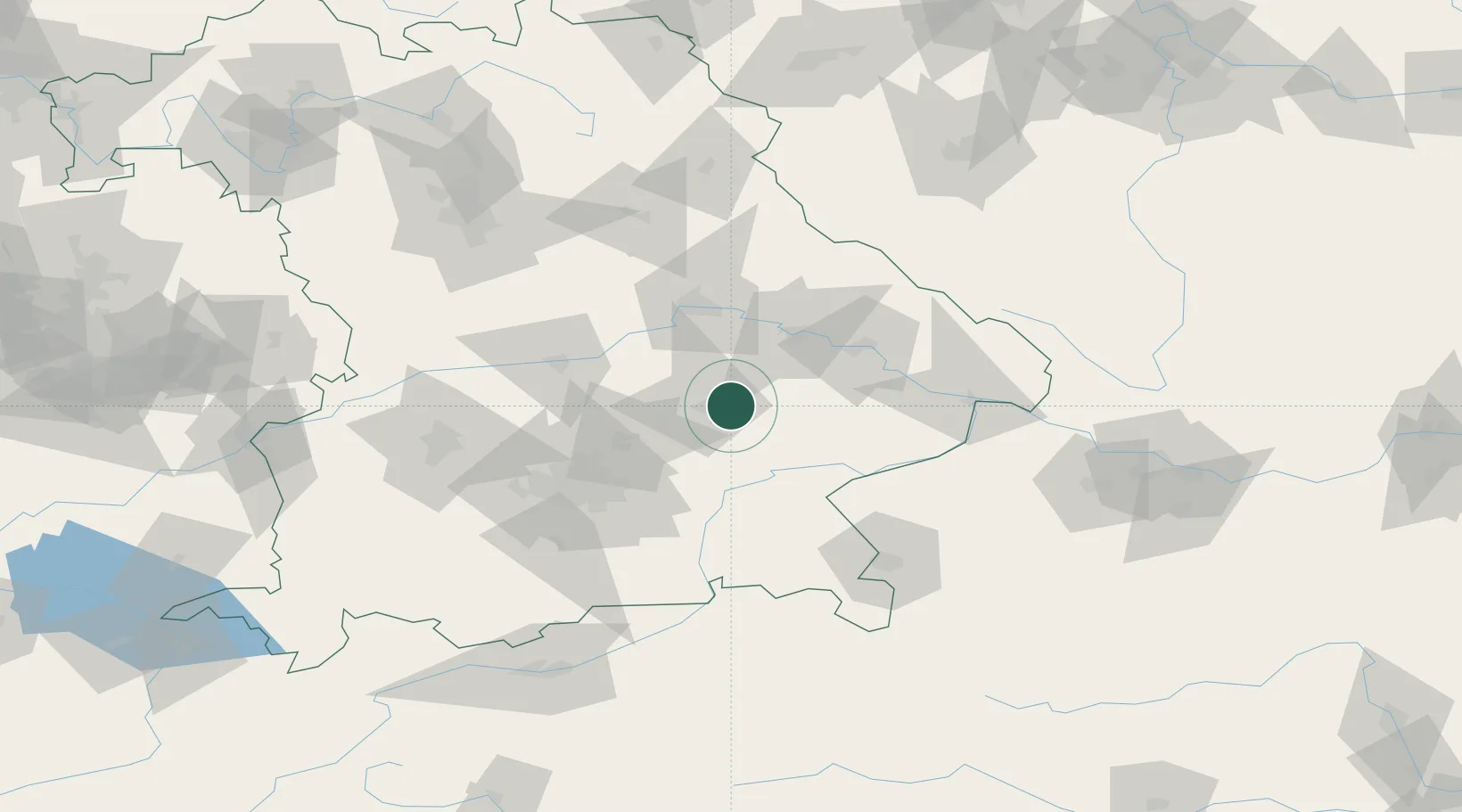
Location
Nearby Logistics Neighbours
Cities
- 1Wörth an der Isar9 km
- 2Vilsbiburg12 km
- 3Weigendorf12 km
- 4Loiching13 km
- 5Tiefenbach (Bei Landshut)15 km
Ports
- 1Nogaro318 km
- 2Monfalcone322 km
- 3Grado326 km
- 4Trieste341 km
- 5Muggia347 km
Airports
- 1Landshut Airfield19 km
- 2Munich Airport43 km
- 3Ingolstadt Manching Airport58 km
- 4Altstetten Ultralight Field78 km
- 5Neuburg Air Base81 km
Trade Zones
DatabookThe Record of Consolidated Knowledge
Germany beyond logistics?