Transport Functions
Multimodal
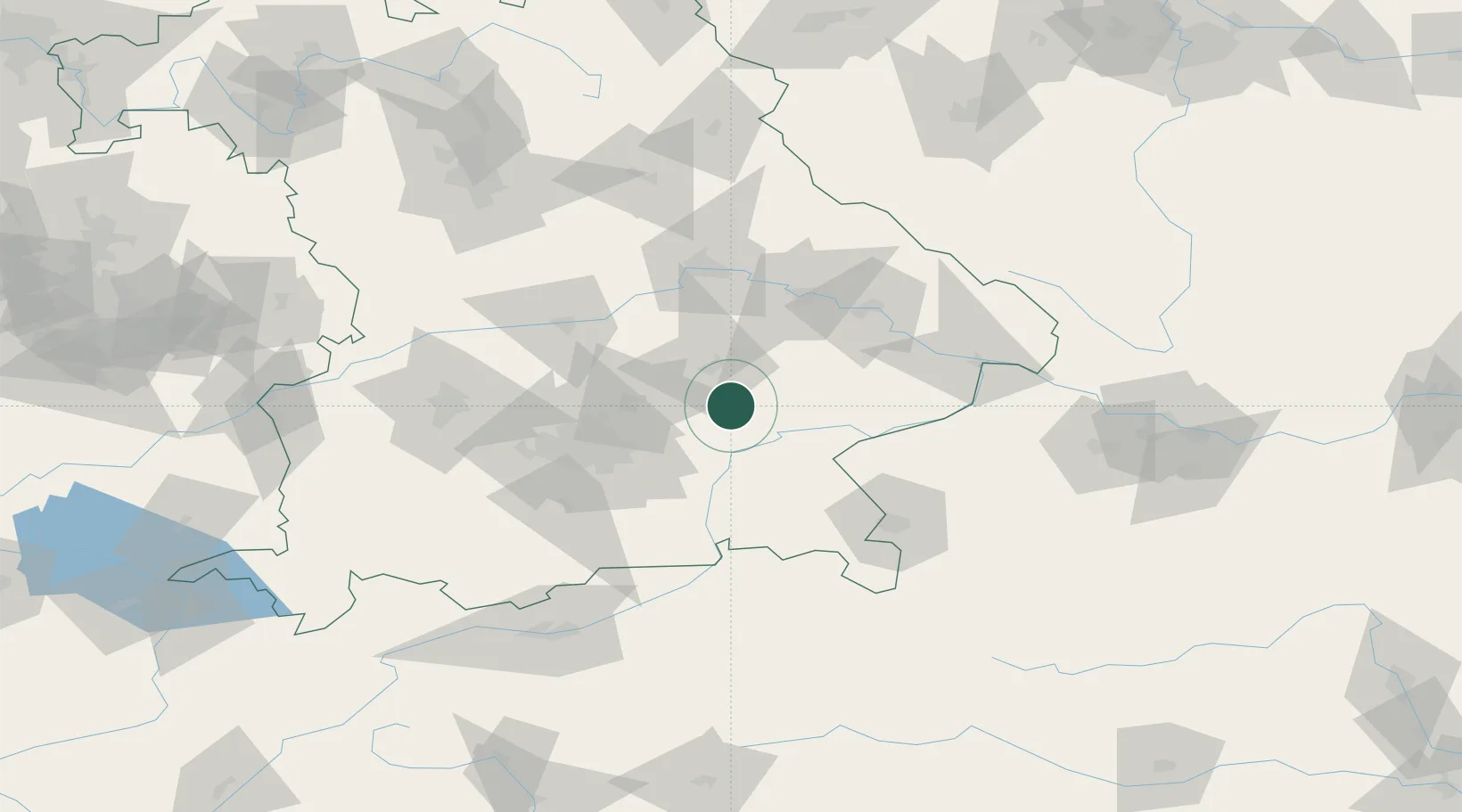
Hub Profile
Region
BY
Location
Nearby Logistics Neighbours
Cities
- 1Schwindegg11 km
- 2Obertaufkirchen11 km
- 3Munchsdorf12 km
- 4Vilsbiburg12 km
- 5Teising17 km
Ports
- 1Nogaro298 km
- 2Monfalcone304 km
- 3Grado307 km
- 4Trieste323 km
- 5Porto Di Lido-Venezia328 km
Airports
- 1Landshut Airfield23 km
- 2Munich Airport34 km
- 3Ingolstadt Manching Airport66 km
- 4Altstetten Ultralight Field72 km
- 5Oberpfaffenhofen Airport78 km
Trade Zones
DatabookThe Record of Consolidated Knowledge
Germany beyond logistics?