Transport Functions
Multimodal
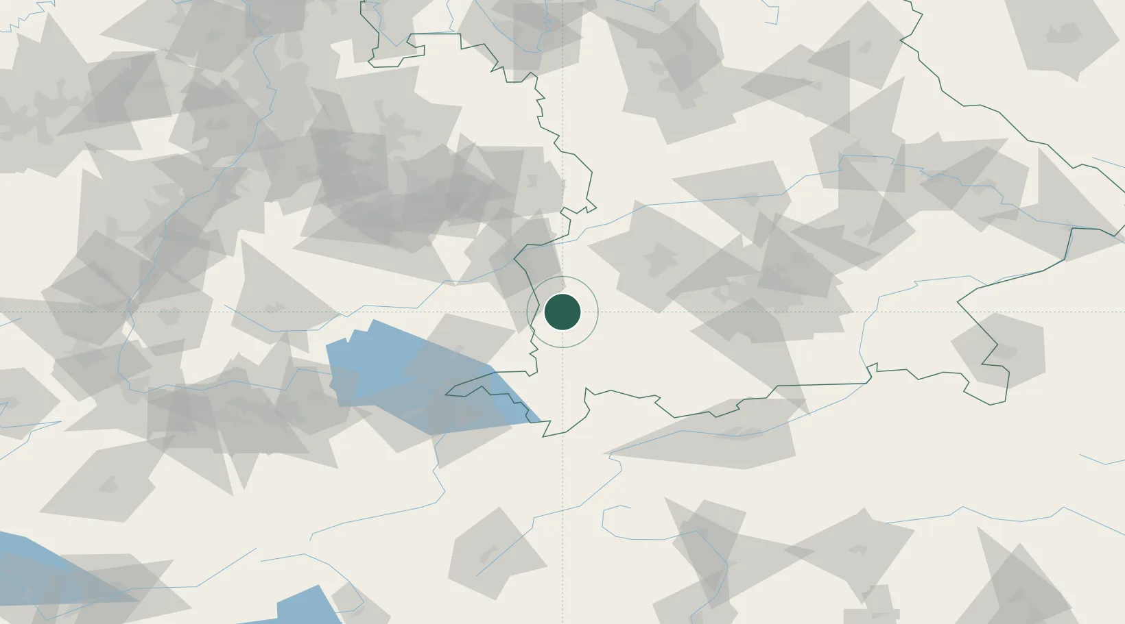
Hub Profile
Region
BY
Location
Nearby Logistics Neighbours
Cities
- 1Ungerhausen4 km
- 2Oberschönegg6 km
- 3Niederrieden7 km
- 4Memmingerberg9 km
- 5Wald9 km
Ports
- 1Porto Di Lido-Venezia336 km
- 2Nogaro336 km
- 3Grado348 km
- 4Porto Di Chioggia349 km
- 5Monfalcone354 km
Airports
- 1Memmingen Allgau Airport8 km
- 2Laupheim Air Base34 km
- 3Lechfeld Air Base46 km
- 4Augsburg Airport64 km
- 5Mengen-Hohentengen Airfield68 km
Trade Zones
- 1Livigno Free Trade Zone169 km
- 2ZFU Neuhof194 km
- 3ZFU Hautepierre201 km
- 4Freeport of Deggendorf213 km
- 5ZFU Mulhouse222 km
DatabookThe Record of Consolidated Knowledge
Germany beyond logistics?