Transport Functions
Multimodal
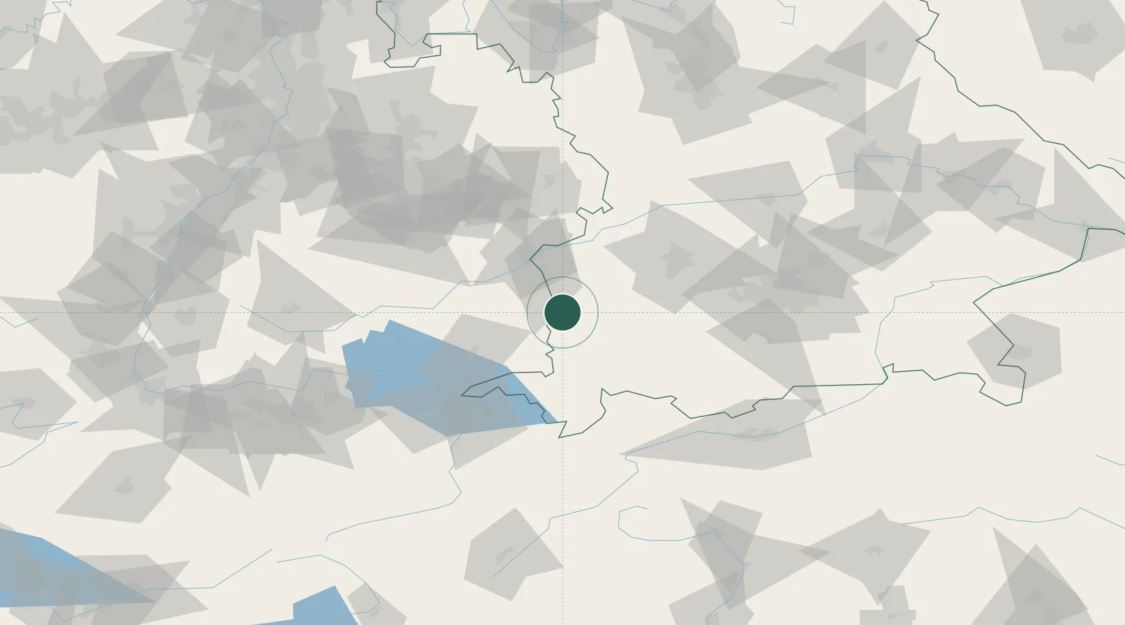
Hub Profile
Place type
Local administrative seat
Region
Bavaria
Population
1,340
Time zone
Europe/Berlin
Elevation
583 m
Location
Nearby Logistics Neighbours
Cities
- 1Fellheim3 km
- 2Unteropfingen4 km
- 3Oberopfingen5 km
- 4Ungerhausen7 km
- 5Lauben (Unterallgäu)7 km
Ports
- 1Porto Di Lido-Venezia339 km
- 2Nogaro341 km
- 3Porto Di Chioggia352 km
- 4Grado353 km
- 5Monfalcone359 km
Airports
Trade Zones
- 1Livigno Free Trade Zone169 km
- 2ZFU Neuhof187 km
- 3ZFU Hautepierre194 km
- 4ZFU Mulhouse215 km
- 5Freeport of Deggendorf219 km
DatabookThe Record of Consolidated Knowledge
Germany beyond logistics?