UN/LOCODE hub · Germany
DEUPS

Upschört

53.4667°, 7.7333°
2
Transport functions

Transport Functions

Port
Road
UN/LOCODE

Hub Profile

Region
NI
GeoNames

Location

Location of DEUPS
Natural Earth 10m (public domain) · NI · DEUPS · 53.47, 7.73GoogleOSMYandex

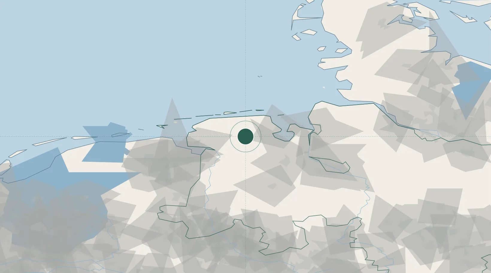
Nearby Logistics Neighbours

Cities
  1. 1Marcardsmoor2 km
  2. 2Reepsholt7 km
  3. 3Hesel8 km
  4. 4Marx9 km
  5. 5Wiesens10 km
Nearest neighbours — logibook spatial index (haversine) over the source coordinates
Ports
  1. 1Wilhelmshaven30 km
  2. 2Leer32 km
  3. 3Emden39 km
  4. 4Papenburg47 km
  5. 5Nordenham50 km
Nearest neighbours — logibook spatial index (haversine) over the source coordinates
Airports
  1. 1Wittmundhafen Air Base10 km
  2. 2Harlesiel Airfield27 km
  3. 3Emden Airport35 km
  4. 4Wangerooge Airport37 km
  5. 5Baltrum Airport37 km
Nearest neighbours — logibook spatial index (haversine) over the source coordinates
Trade Zones
  1. 1Freeport of Emden39 km
  2. 2Freeport of Cuxhaven (Freihafen Cuxhaven)68 km
  3. 3Freeport of Bremerhaven (Freihafen Bremerhaven)81 km
  4. 4Freeport of Kiel187 km
  5. 5Freeport of Duisburg238 km
Nearest neighbours — logibook spatial index (haversine) over the source coordinates
DatabookThe Record of Consolidated Knowledge
Germany beyond logistics?
Browse databook

All Sources

LocationsUN/LOCODE
UN/LOCODE — free
Portsthe NGA World Port Index
Public domain (US gov)
AirportsOurAirports
Public domain
Trade Zonesthe World Bank SEZ database
CC BY 4.0
Trade ZonesOpen Zone Map
CC BY
← Germany locations