Small airport · Germany
Baltrum AirportEDWZ
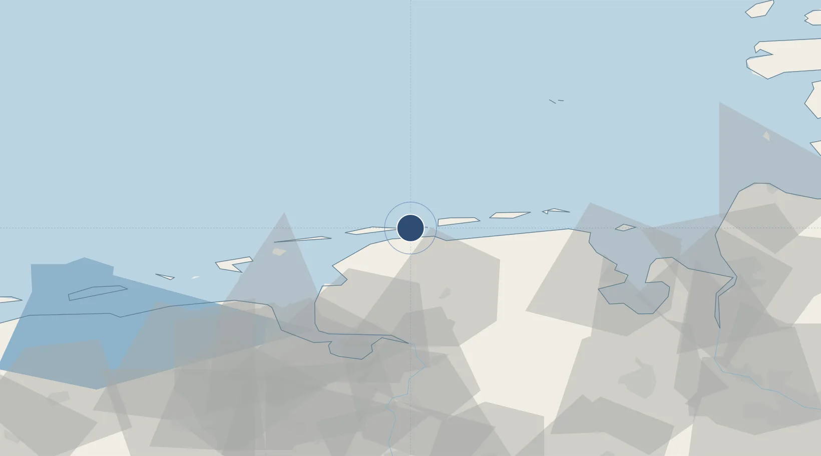
53.7249°, 7.3733°
1,181 ft
Longest runway
1
Runways
7 ft
Elevation
Runway & Layout

Radio Frequencies
AFIS
128.525 MHz
Langen Information
Info
132.015 MHz
Baltrum Radio
Runways · 1
| Runway | Dimensions | Surface | True heading | Lit |
|---|---|---|---|---|
| 09/27 | 1,181 × 49ft | concrete | 092° | — |
Airport Specifications
IATA code
BMR
ICAO code
EDWZ
Airport class
Small airport
Scheduled service
Yes
Runway surface
concrete
Served city
Baltrum
Location
Nearby Logistics Neighbours
Airports
- 1Norderney Airport10 km
- 2Norden-Norddeich Airport16 km
- 3Juist Airport21 km
- 4Wittmundhafen Air Base28 km
- 5Harlesiel Airfield30 km
Cities
- 1Baltrum1 km
- 2Nessmersiel7 km
- 3Langeoog8 km
- 4Westeraccumersiel10 km
- 5Bensersiel15 km
Ports
- 1Emden45 km
- 2Eemshaven47 km
- 3Delfzijl52 km
- 4Leer55 km
- 5Wilhelmshaven57 km
Trade Zones
DatabookThe Record of Consolidated Knowledge
Germany beyond logistics?