Transport Functions
Multimodal
Hub Profile
Place type
Farm village
Region
Lower Saxony
Time zone
Europe/Berlin
Elevation
5 m
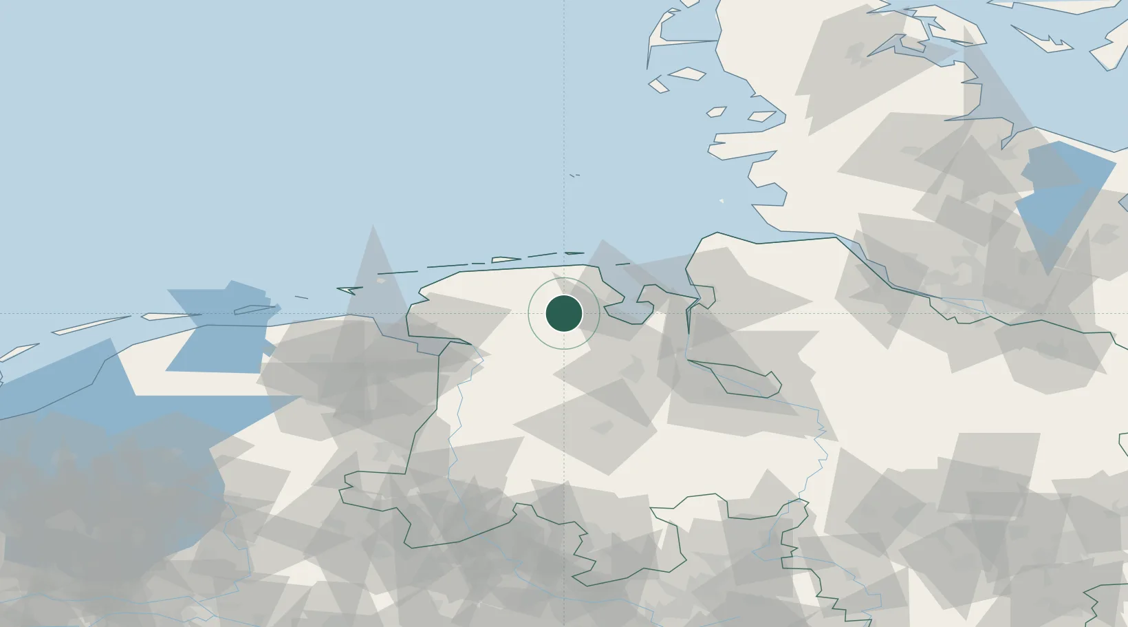
Location
Nearby Logistics Neighbours
Cities
- 1Reepsholt2 km
- 2Marx4 km
- 3Upschört8 km
- 4Marcardsmoor9 km
- 5Zetel10 km
Ports
- 1Wilhelmshaven22 km
- 2Leer37 km
- 3Nordenham42 km
- 4Brake45 km
- 5Oldenburg46 km
Airports
- 1Wittmundhafen Air Base15 km
- 2Harlesiel Airfield27 km
- 3Wangerooge Airport35 km
- 4Emden Airport42 km
- 5Baltrum Airport43 km
Trade Zones
DatabookThe Record of Consolidated Knowledge
Germany beyond logistics?