Transport Functions
Port
Road
Hub Profile
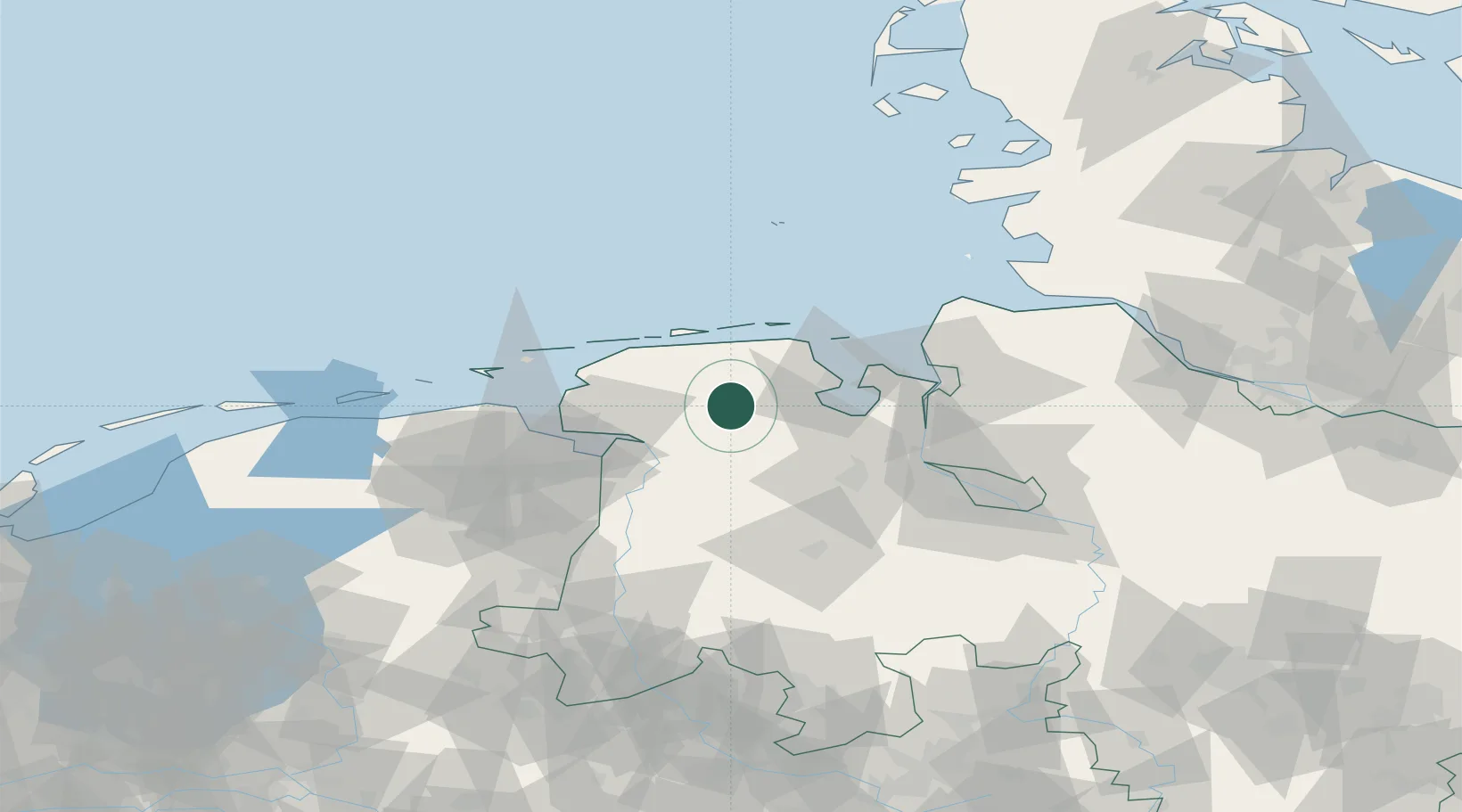
Place type
Populated place
Region
Lower Saxony
Time zone
Europe/Berlin
Elevation
11 m
Location
Nearby Logistics Neighbours
Ports
- 1Leer30 km
- 2Wilhelmshaven31 km
- 3Emden38 km
- 4Papenburg45 km
- 5Oldenburg50 km
Airports
- 1Wittmundhafen Air Base11 km
- 2Harlesiel Airfield29 km
- 3Emden Airport33 km
- 4Baltrum Airport38 km
- 5Wangerooge Airport39 km
Trade Zones
DatabookThe Record of Consolidated Knowledge
Germany beyond logistics?