Transport Functions
Port
Road
Hub Profile
Place type
Populated place
Region
Lower Saxony
Time zone
Europe/Berlin
Elevation
5 m
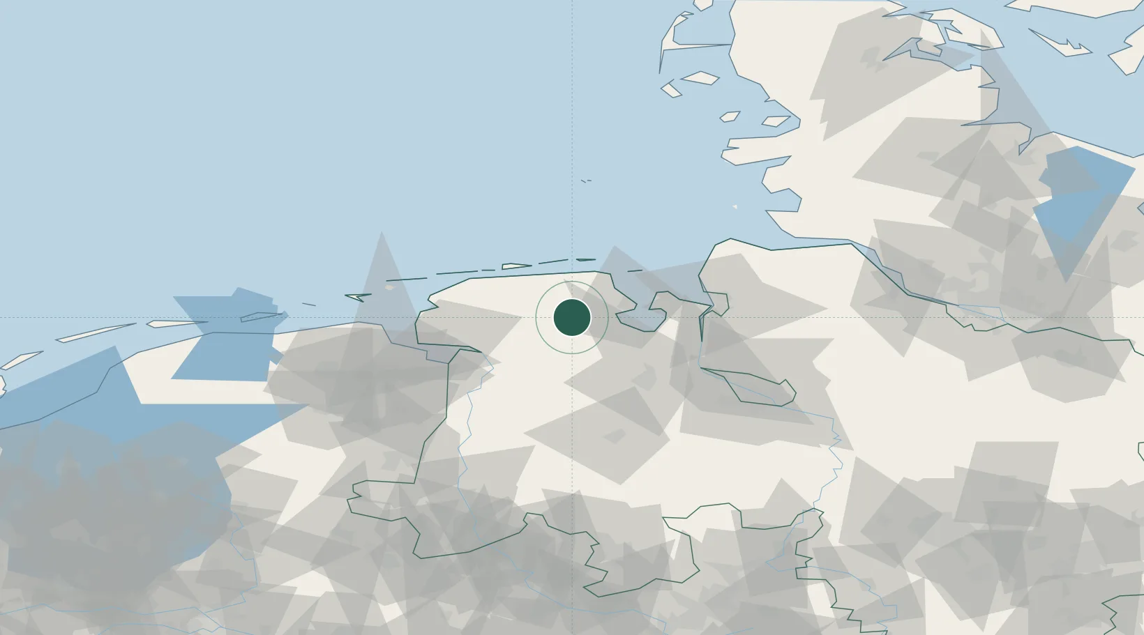
Location
Nearby Logistics Neighbours
Cities
- 1Hesel2 km
- 2Marx6 km
- 3Upschört7 km
- 4Marcardsmoor9 km
- 5Wittmund10 km
Ports
- 1Wilhelmshaven23 km
- 2Leer38 km
- 3Nordenham43 km
- 4Emden46 km
- 5Brake46 km
Airports
- 1Wittmundhafen Air Base13 km
- 2Harlesiel Airfield25 km
- 3Wangerooge Airport34 km
- 4Baltrum Airport41 km
- 5Emden Airport41 km
Trade Zones
DatabookThe Record of Consolidated Knowledge
Germany beyond logistics?