Transport Functions
Multimodal
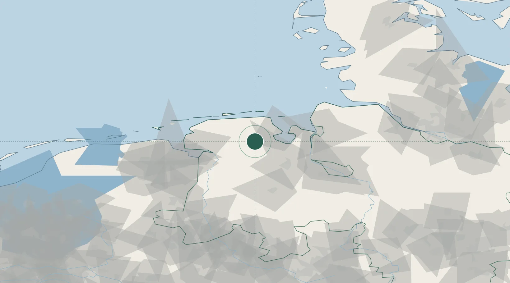
Hub Profile
Place type
Populated place
Region
Lower Saxony
Time zone
Europe/Berlin
Elevation
8 m
Location
Nearby Logistics Neighbours
Cities
- 1Hesel4 km
- 2Reepsholt6 km
- 3Upschört9 km
- 4Marcardsmoor9 km
- 5Zetel9 km
Ports
- 1Wilhelmshaven24 km
- 2Leer35 km
- 3Nordenham42 km
- 4Oldenburg43 km
- 5Brake44 km
Airports
- 1Wittmundhafen Air Base18 km
- 2Harlesiel Airfield31 km
- 3Wangerooge Airport39 km
- 4Emden Airport42 km
- 5Baltrum Airport45 km
Trade Zones
DatabookThe Record of Consolidated Knowledge
Germany beyond logistics?