Transport Functions
Port
Road
Hub Profile
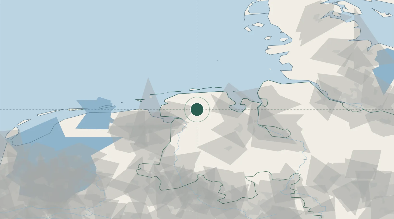
Place type
Populated place
Region
Lower Saxony
Time zone
Europe/Berlin
Elevation
7 m
Location
Nearby Logistics Neighbours
Cities
- 1Aurich7 km
- 2Marcardsmoor9 km
- 3Upschört10 km
- 4Südbrookmerland13 km
- 5Reepsholt17 km
Ports
- 1Leer26 km
- 2Emden30 km
- 3Wilhelmshaven40 km
- 4Papenburg41 km
- 5Delfzijl45 km
Airports
- 1Wittmundhafen Air Base12 km
- 2Emden Airport25 km
- 3Harlesiel Airfield33 km
- 4Norden-Norddeich Airport33 km
- 5Baltrum Airport34 km
Trade Zones
DatabookThe Record of Consolidated Knowledge
Germany beyond logistics?