Transport Functions
Port
Multimodal
Hub Profile
Place type
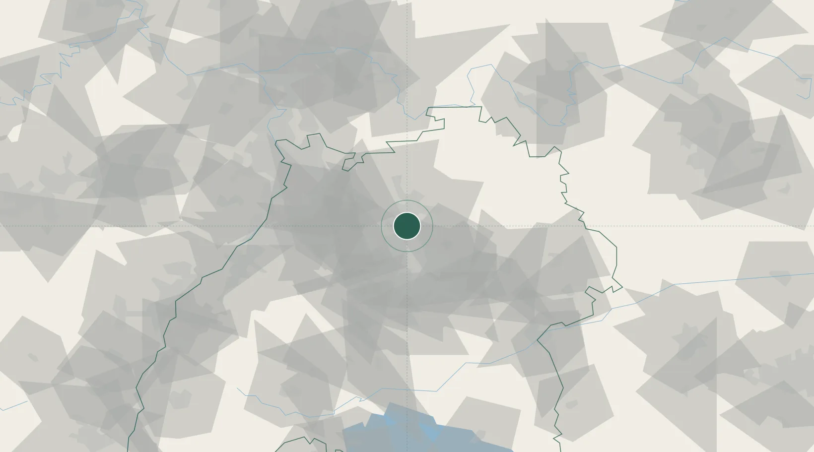
Populated place
Region
Baden-Wurttemberg
Time zone
Europe/Berlin
Elevation
258 m
Location
Nearby Logistics Neighbours
Cities
- 1Talheim2 km
- 2Neckarwestheim2 km
- 3Lauffen am Neckar4 km
- 4Untergruppenbach5 km
- 5Nordheim6 km
Airports
- 1Stuttgart Airport42 km
- 2Adolf Würth Airport43 km
- 3Niederstetten Army Air Base66 km
- 4Mannheim-City Airport67 km
- 5Karlsruhe Baden-Baden Airport88 km
Trade Zones
- 1ZFU Neuhof120 km
- 2ZFU Hautepierre122 km
- 3ZFU La Cité Behren-lès-Forbach166 km
- 4ZFU Mulhouse201 km
- 5ZFU Metz221 km
DatabookThe Record of Consolidated Knowledge
Germany beyond logistics?