UN/LOCODE hub · Germany
DERNO
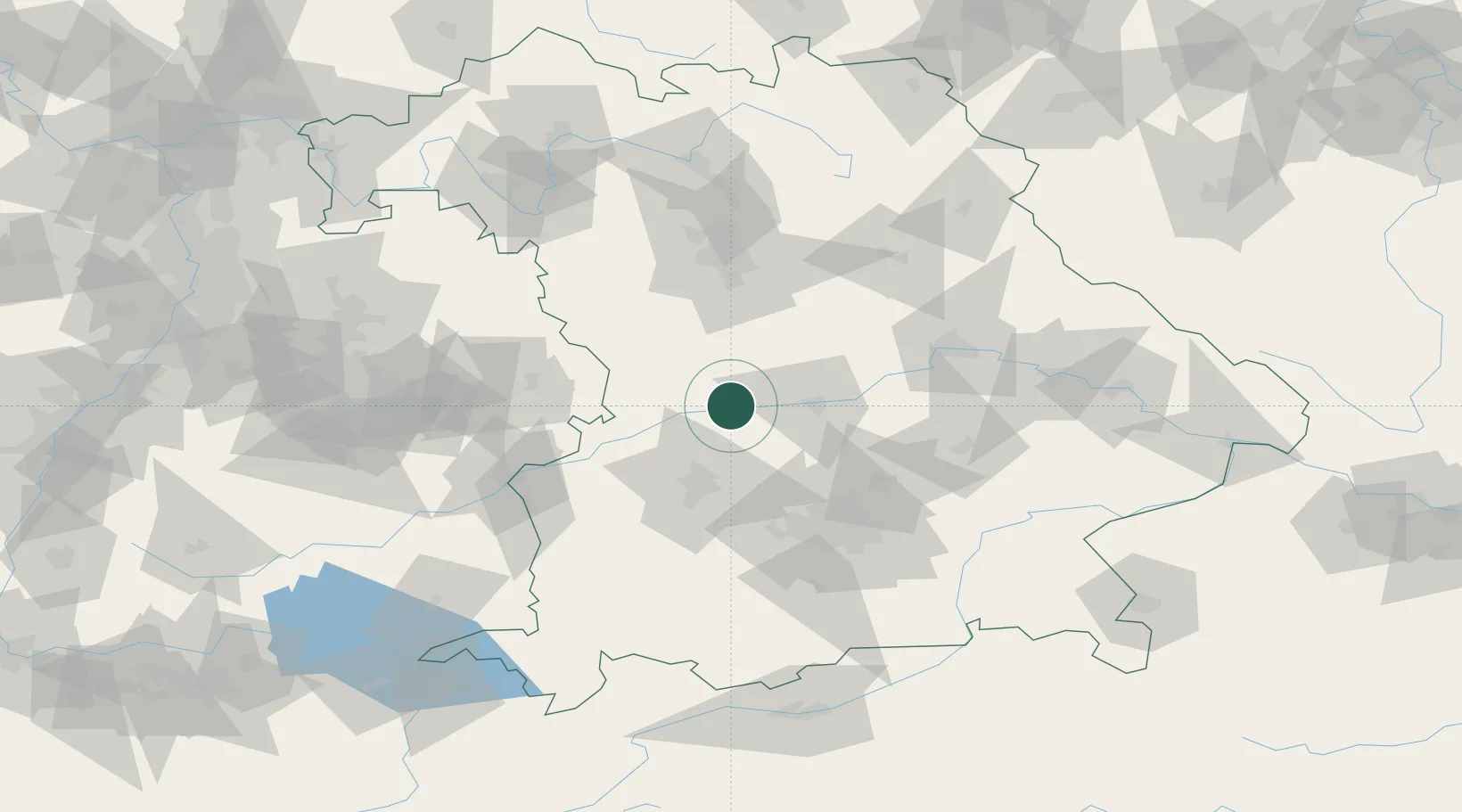
Rennertshofen, Neuburg-Schrobenhausen
48.7500°, 11.0500°
2
Transport functions
Transport Functions
Rail
Road
Hub Profile
Region
BY
Location
Nearby Logistics Neighbours
Cities
- 1Burgheim6 km
- 2Oberhausen6 km
- 3Tagmersheim10 km
- 4Genderkingen13 km
- 5Ehekirchen14 km
Ports
- 1Nogaro369 km
- 2Grado380 km
- 3Monfalcone380 km
- 4Porto Di Lido-Venezia385 km
- 5Trieste400 km
Airports
- 1Neuburg Air Base13 km
- 2Ingolstadt Manching Airport36 km
- 3Augsburg Airport37 km
- 4Altstetten Ultralight Field52 km
- 5Lechfeld Air Base64 km
Trade Zones
- 1Freeport of Deggendorf136 km
- 2Podbořany Industrial Zone237 km
- 3ZFU Neuhof243 km
- 4ZFU Hautepierre247 km
- 5Žatec - Triangle Strategic Industrial Zone255 km
DatabookThe Record of Consolidated Knowledge
Germany beyond logistics?