Transport Functions
Road
Multimodal
Hub Profile
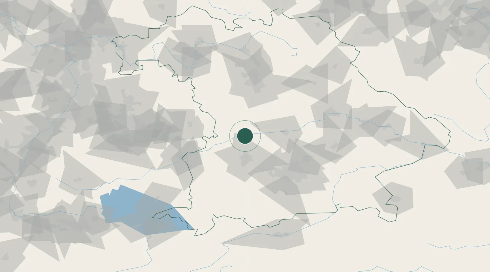
Place type
Local administrative seat
Region
Bavaria
Population
1,147
Time zone
Europe/Berlin
Elevation
398 m
Location
Nearby Logistics Neighbours
Cities
- 1Asbach-Bäumenheim6 km
- 2Burgheim10 km
- 3Buchdorf10 km
- 4Rennertshofen, Neuburg-Schrobenhausen13 km
- 5Tagmersheim14 km
Ports
- 1Nogaro370 km
- 2Grado381 km
- 3Monfalcone382 km
- 4Porto Di Lido-Venezia384 km
- 5Porto Di Chioggia400 km
Airports
- 1Neuburg Air Base24 km
- 2Augsburg Airport31 km
- 3Ingolstadt Manching Airport48 km
- 4Altstetten Ultralight Field53 km
- 5Lechfeld Air Base57 km
Trade Zones
- 1Freeport of Deggendorf149 km
- 2ZFU Neuhof230 km
- 3ZFU Hautepierre235 km
- 4Livigno Free Trade Zone248 km
- 5Podbořany Industrial Zone249 km
DatabookThe Record of Consolidated Knowledge
Germany beyond logistics?