Transport Functions
Multimodal
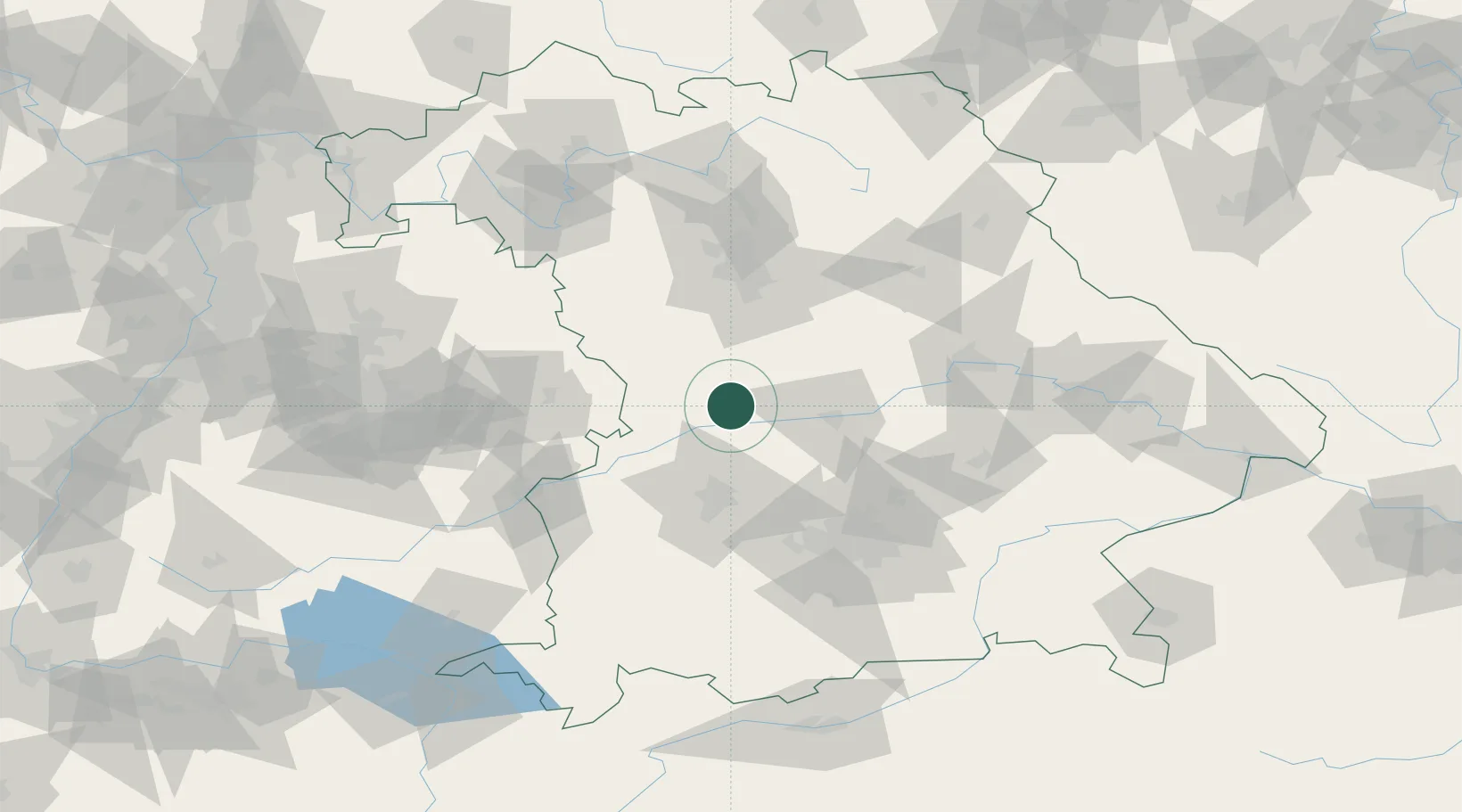
Hub Profile
Place type
Local administrative seat
Region
Bavaria
Population
1,083
Time zone
Europe/Berlin
Elevation
499 m
Location
Nearby Logistics Neighbours
Cities
- 1Mörnsheim8 km
- 2Rennertshofen, Neuburg-Schrobenhausen10 km
- 3Monheim10 km
- 4Buchdorf10 km
- 5Burgheim14 km
Ports
- 1Nogaro378 km
- 2Grado389 km
- 3Monfalcone389 km
- 4Porto Di Lido-Venezia394 km
- 5Trieste410 km
Airports
- 1Neuburg Air Base21 km
- 2Ingolstadt Manching Airport43 km
- 3Augsburg Airport44 km
- 4Altstetten Ultralight Field61 km
- 5Lechfeld Air Base71 km
Trade Zones
- 1Freeport of Deggendorf142 km
- 2Podbořany Industrial Zone236 km
- 3ZFU Neuhof237 km
- 4ZFU Hautepierre242 km
- 5Žatec - Triangle Strategic Industrial Zone254 km
DatabookThe Record of Consolidated Knowledge
Germany beyond logistics?