Transport Functions
Rail
Road
Hub Profile
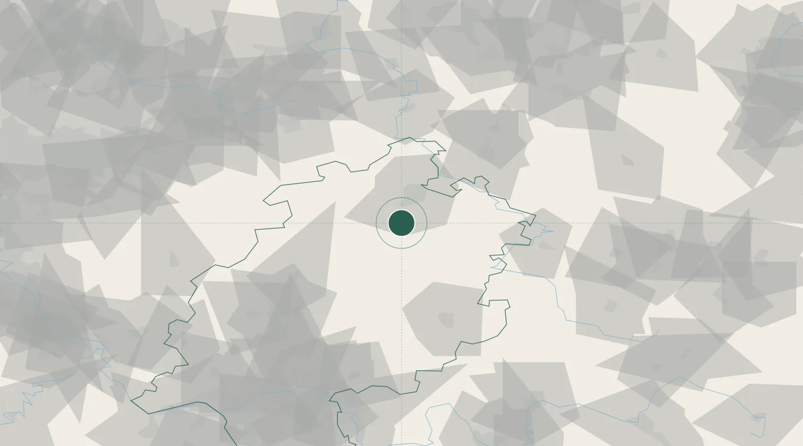
Place type
Populated place
Region
Hesse
Population
11,219
Time zone
Europe/Berlin
Elevation
165 m
Location
Nearby Logistics Neighbours
Cities
- 1Gudensberg7 km
- 2Wabern7 km
- 3Guxhagen9 km
- 4Malsfeld10 km
- 5Beiseförth11 km
Airports
- 1Fritzlar Army Airfield9 km
- 2Kassel Airport32 km
- 3Eisenach-Kindel Airport76 km
- 4Paderborn Lippstadt Airport77 km
- 5Siegerland Airport105 km
Trade Zones
- 1Freeport of Duisburg200 km
- 2Rheinische Revier SWZ214 km
- 3Freeport of Bremerhaven (Freihafen Bremerhaven)222 km
- 4Luxembourg Free Port281 km
- 5ZFU La Cité Behren-lès-Forbach282 km
DatabookThe Record of Consolidated Knowledge
Germany beyond logistics?