Transport Functions
Rail
Road
Airport
Hub Profile
Place type
Provincial seat
Region
Hesse
Population
194,501
Time zone
Europe/Berlin
Elevation
164 m
Logistics facilities
2
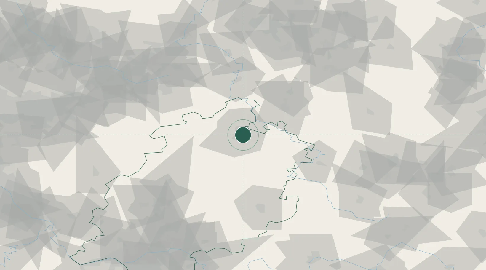
Location
Nearby Logistics Neighbours
Airports
- 1Kassel Airport18 km
- 2Fritzlar Army Airfield24 km
- 3Paderborn Lippstadt Airport72 km
- 4Eisenach-Kindel Airport75 km
- 5Bielefeld Airport102 km
Trade Zones
DatabookThe Record of Consolidated Knowledge
Germany beyond logistics?