UN/LOCODE hub · Germany
DEBB2

Biberachzell

48.3167°, 10.2167°
2
Transport functions

Transport Functions

Road
Multimodal
UN/LOCODE

Hub Profile

Place type
Populated place
GeoNames
Region
Bavaria
GeoNames
Time zone
Europe/Berlin
GeoNames
Elevation
492 m
GeoNames

Location

Location of DEBB2
Natural Earth 10m (public domain) · Bavaria · DEBB2 · 48.32, 10.22GoogleOSMYandex

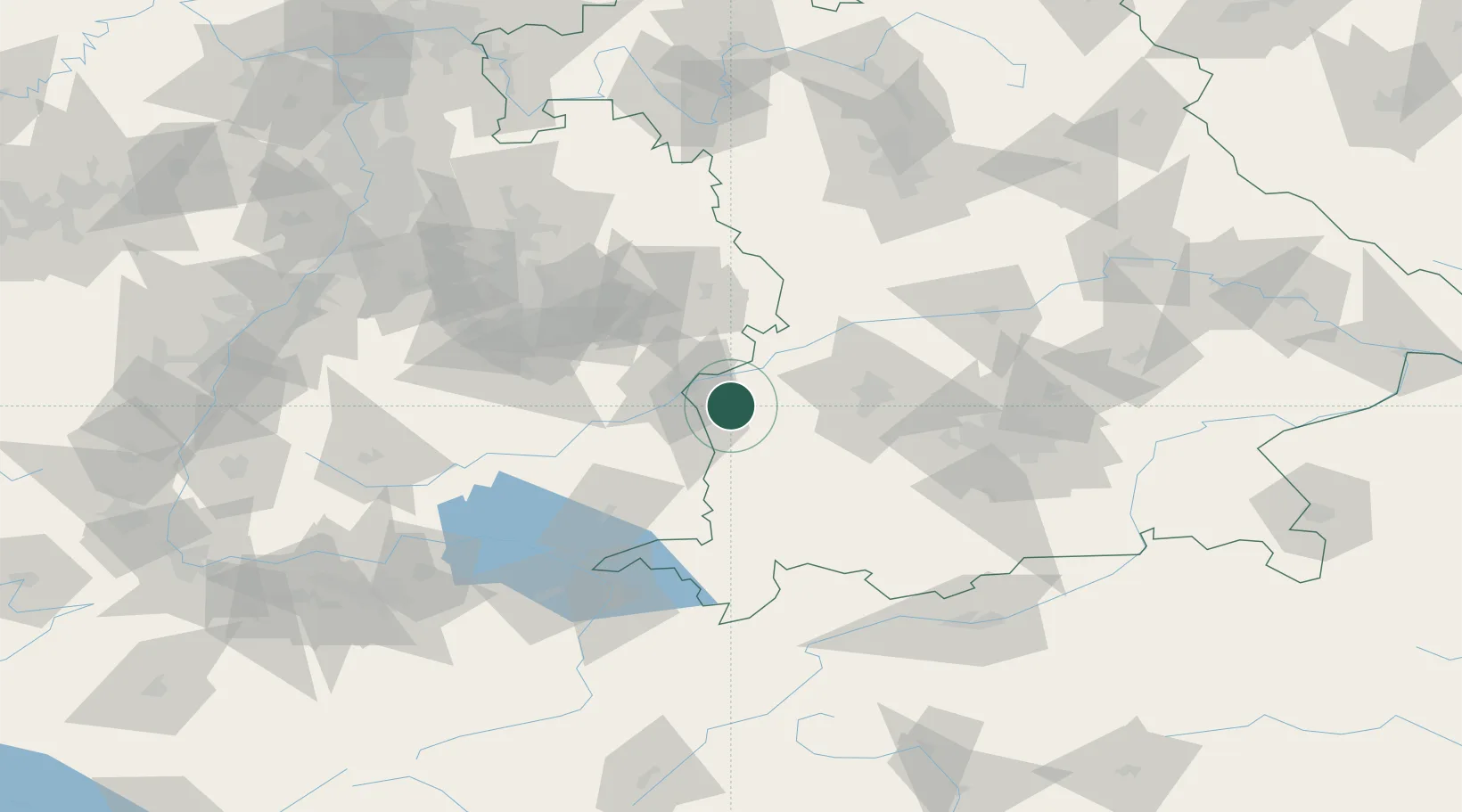
Nearby Logistics Neighbours

Cities
  1. 1Pfaffenhofen an der Roth5 km
  2. 2Roggenburg6 km
  3. 3Ichenhausen9 km
  4. 4Nordholz9 km
  5. 5Breitenthal11 km
Nearest neighbours — logibook spatial index (haversine) over the source coordinates
Ports
  1. 1Nogaro362 km
  2. 2Porto Di Lido-Venezia364 km
  3. 3Grado373 km
  4. 4Porto Di Chioggia378 km
  5. 5Monfalcone378 km
Nearest neighbours — logibook spatial index (haversine) over the source coordinates
Airports
  1. 1Laupheim Air Base25 km
  2. 2Memmingen Allgau Airport37 km
  3. 3Lechfeld Air Base50 km
  4. 4Augsburg Airport54 km
  5. 5Mengen-Hohentengen Airfield69 km
Nearest neighbours — logibook spatial index (haversine) over the source coordinates
Trade Zones
  1. 1ZFU Neuhof183 km
  2. 2ZFU Hautepierre189 km
  3. 3Livigno Free Trade Zone199 km
  4. 4Freeport of Deggendorf206 km
  5. 5ZFU Mulhouse223 km
Nearest neighbours — logibook spatial index (haversine) over the source coordinates
DatabookThe Record of Consolidated Knowledge
Germany beyond logistics?
Browse databook

All Sources

LocationsUN/LOCODE
UN/LOCODE — free
Portsthe NGA World Port Index
Public domain (US gov)
AirportsOurAirports
Public domain
Trade Zonesthe World Bank SEZ database
CC BY 4.0
Trade ZonesOpen Zone Map
CC BY
← Germany locations