Transport Functions
Multimodal
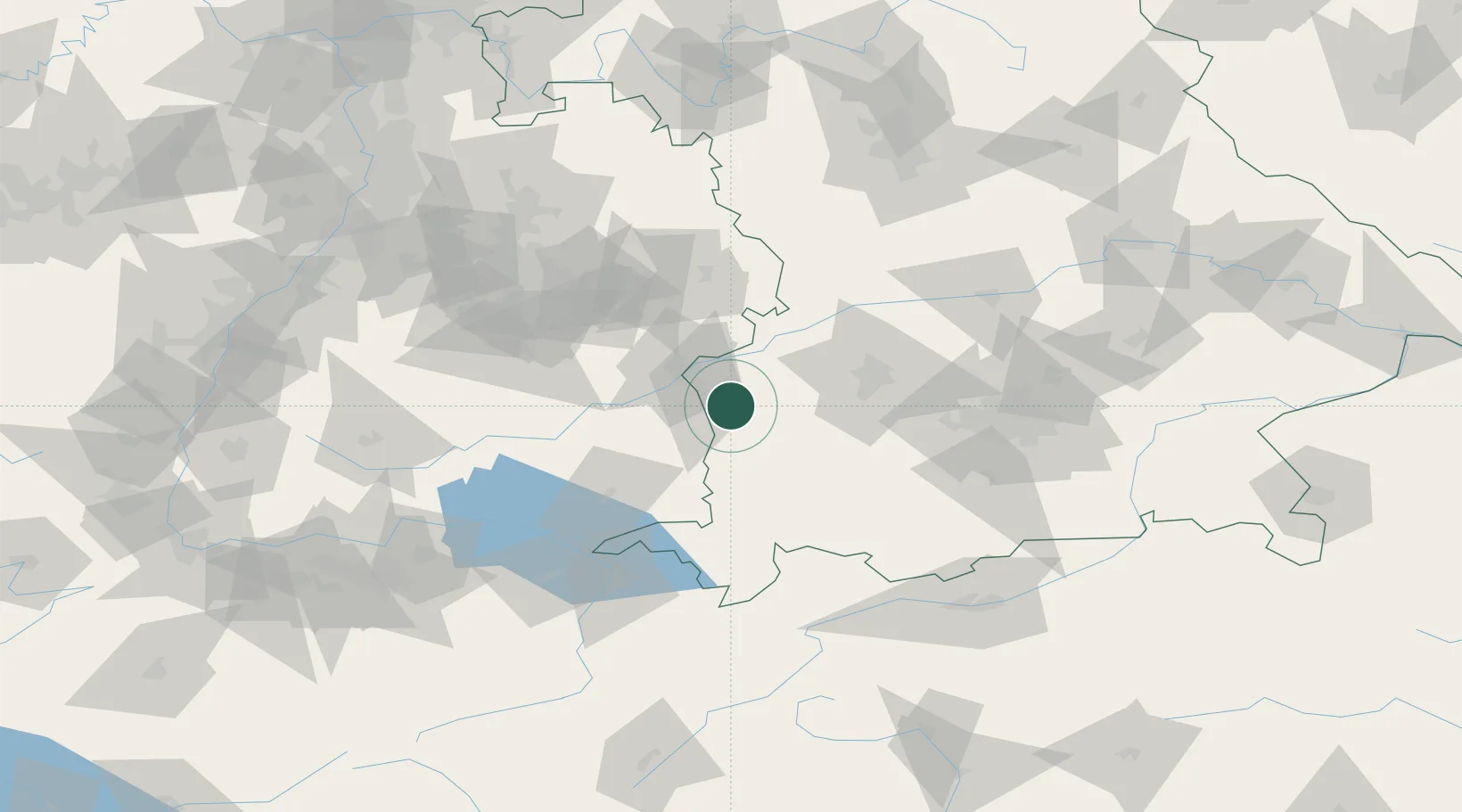
Hub Profile
Place type
Populated place
Region
Bavaria
Time zone
Europe/Berlin
Elevation
520 m
Location
Nearby Logistics Neighbours
Cities
- 1Buch3 km
- 2Roggenburg4 km
- 3Breitenthal6 km
- 4Deisenhausen9 km
- 5Biberachzell9 km
Ports
- 1Nogaro355 km
- 2Porto Di Lido-Venezia356 km
- 3Grado366 km
- 4Porto Di Chioggia369 km
- 5Monfalcone372 km
Airports
- 1Laupheim Air Base23 km
- 2Memmingen Allgau Airport27 km
- 3Lechfeld Air Base48 km
- 4Augsburg Airport57 km
- 5Mengen-Hohentengen Airfield66 km
Trade Zones
- 1ZFU Neuhof184 km
- 2Livigno Free Trade Zone189 km
- 3ZFU Hautepierre191 km
- 4Freeport of Deggendorf209 km
- 5ZFU Mulhouse221 km
DatabookThe Record of Consolidated Knowledge
Germany beyond logistics?