Transport Functions
Multimodal
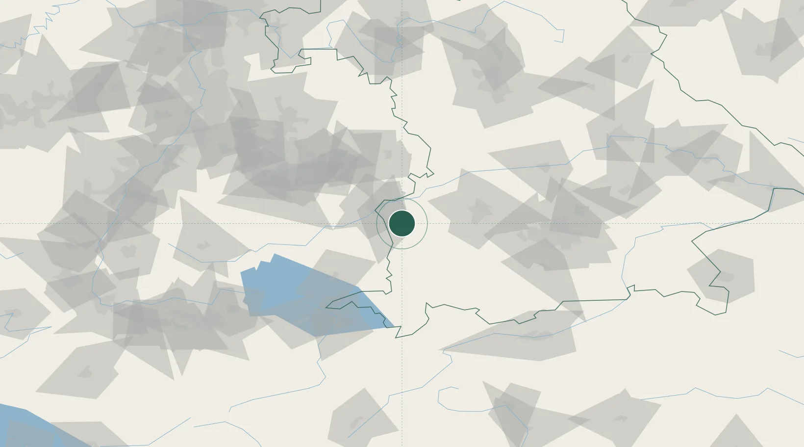
Hub Profile
Place type
Local administrative seat
Region
Bavaria
Population
2,642
Time zone
Europe/Berlin
Elevation
553 m
Location
Nearby Logistics Neighbours
Cities
- 1Nordholz4 km
- 2Biberachzell6 km
- 3Buch6 km
- 4Breitenthal7 km
- 5Deisenhausen9 km
Ports
- 1Nogaro357 km
- 2Porto Di Lido-Venezia359 km
- 3Grado369 km
- 4Porto Di Chioggia373 km
- 5Monfalcone374 km
Airports
- 1Laupheim Air Base23 km
- 2Memmingen Allgau Airport31 km
- 3Lechfeld Air Base49 km
- 4Augsburg Airport56 km
- 5Mengen-Hohentengen Airfield67 km
Trade Zones
- 1ZFU Neuhof184 km
- 2ZFU Hautepierre190 km
- 3Livigno Free Trade Zone193 km
- 4Freeport of Deggendorf208 km
- 5ZFU Mulhouse222 km
DatabookThe Record of Consolidated Knowledge
Germany beyond logistics?