Transport Functions
Road
Multimodal
Hub Profile
Place type
Local administrative seat
Region
Bavaria
Population
1,293
Time zone
Europe/Berlin
Elevation
519 m
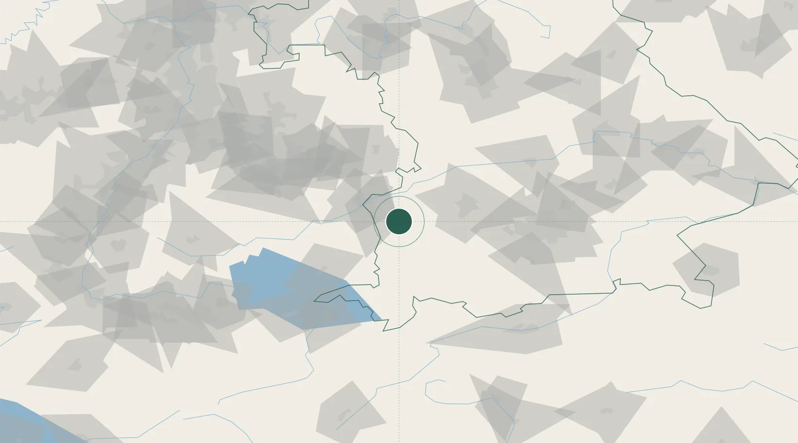
Location
Nearby Logistics Neighbours
Cities
- 1Deisenhausen3 km
- 2Niederraunau6 km
- 3Nordholz6 km
- 4Roggenburg7 km
- 5Buch9 km
Ports
- 1Nogaro351 km
- 2Porto Di Lido-Venezia353 km
- 3Grado362 km
- 4Porto Di Chioggia367 km
- 5Monfalcone367 km
Airports
- 1Memmingen Allgau Airport28 km
- 2Laupheim Air Base29 km
- 3Lechfeld Air Base42 km
- 4Augsburg Airport51 km
- 5Mengen-Hohentengen Airfield72 km
Trade Zones
- 1Livigno Free Trade Zone190 km
- 2ZFU Neuhof190 km
- 3ZFU Hautepierre197 km
- 4Freeport of Deggendorf204 km
- 5ZFU Mulhouse227 km
DatabookThe Record of Consolidated Knowledge
Germany beyond logistics?