Transport Functions
Multimodal
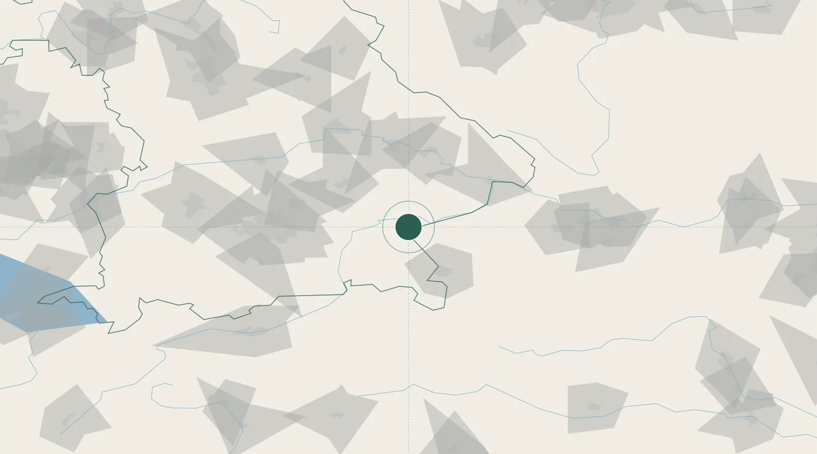
Hub Profile
Place type
Populated place
Region
Bavaria
Time zone
Europe/Berlin
Elevation
407 m
Location
Nearby Logistics Neighbours
Cities
- 1Neuötting6 km
- 2Burghausen8 km
- 3Marktl11 km
- 4Töging am Inn13 km
- 5Ostermiething17 km
Ports
- 1Nogaro272 km
- 2Monfalcone274 km
- 3Grado280 km
- 4Trieste292 km
- 5Muggia298 km
Airports
- 1Salzburg Airport48 km
- 2Landshut Airfield63 km
- 3Munich Airport73 km
- 4Ingolstadt Manching Airport106 km
- 5Linz-Hörsching Airport108 km
Trade Zones
DatabookThe Record of Consolidated Knowledge
Germany beyond logistics?