UN/LOCODE hub · Germany
DETMH

Torfmoorhölle

50.1000°, 11.8167°
2
Transport functions

Transport Functions

Port
Road
UN/LOCODE

Hub Profile

Region
BY
GeoNames

Location

Location of DETMH
Natural Earth 10m (public domain) · BY · DETMH · 50.10, 11.82GoogleOSMYandex

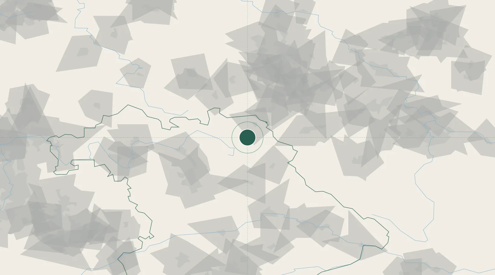
Nearby Logistics Neighbours

Cities
  1. 1Gefrees5 km
  2. 2Kirchenlamitz11 km
  3. 3Münchberg11 km
  4. 4Röslau12 km
  5. 5Bad Berneck12 km
Nearest neighbours — logibook spatial index (haversine) over the source coordinates
Ports
  1. 1Bremen398 km
  2. 2Hamburg405 km
  3. 3Oldenburg417 km
  4. 4Elsfleth418 km
  5. 5Wismar423 km
Nearest neighbours — logibook spatial index (haversine) over the source coordinates
Airports
  1. 1Bayreuth Airport18 km
  2. 2Hof-Plauen Airport21 km
  3. 3Grafenwöhr Army Air Field46 km
  4. 4Bamberg-Breitenau Airfield68 km
  5. 5Karlovy Vary Airport79 km
Nearest neighbours — logibook spatial index (haversine) over the source coordinates
Trade Zones
  1. 1Podbořany Industrial Zone114 km
  2. 2Žatec - Triangle Strategic Industrial Zone126 km
  3. 3Most - Joseph Industrial Zone137 km
  4. 4Freeport of Deggendorf160 km
  5. 5Kolín - Ovčáry Industrial Zone243 km
Nearest neighbours — logibook spatial index (haversine) over the source coordinates
DatabookThe Record of Consolidated Knowledge
Germany beyond logistics?
Browse databook

All Sources

LocationsUN/LOCODE
UN/LOCODE — free
Portsthe NGA World Port Index
Public domain (US gov)
AirportsOurAirports
Public domain
Trade Zonesthe World Bank SEZ database
CC BY 4.0
Trade ZonesOpen Zone Map
CC BY
← Germany locations