Transport Functions
Rail
Road
Hub Profile
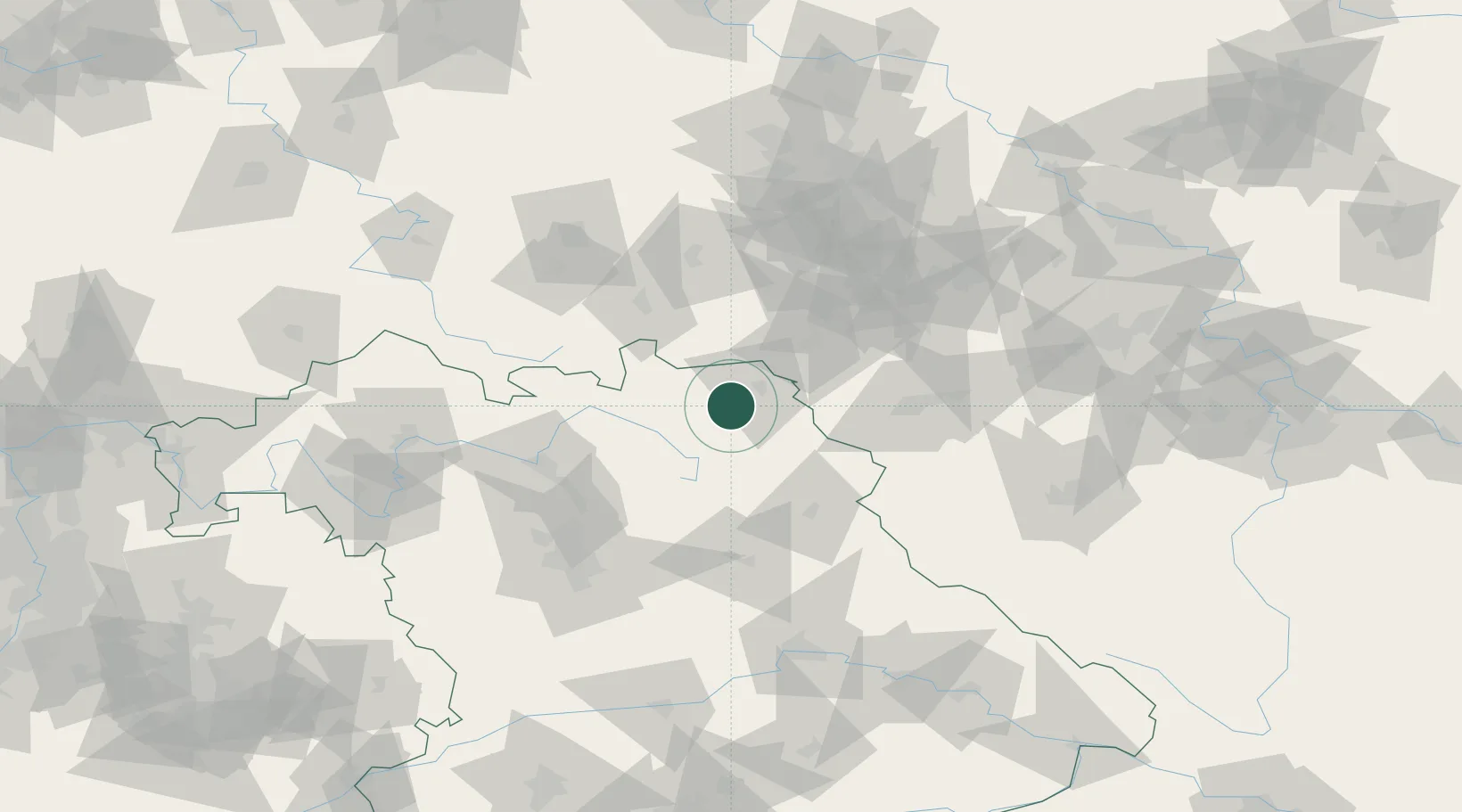
Place type
Populated place
Region
Bavaria
Population
11,557
Time zone
Europe/Berlin
Elevation
536 m
Location
Nearby Logistics Neighbours
Cities
- 1Helmbrechts7 km
- 2Gefrees11 km
- 3Torfmoorhölle11 km
- 4Marktleugast12 km
- 5Oberkotzau13 km
Airports
- 1Hof-Plauen Airport11 km
- 2Bayreuth Airport26 km
- 3Grafenwöhr Army Air Field57 km
- 4Bamberg-Breitenau Airfield69 km
- 5Karlovy Vary Airport81 km
Trade Zones
DatabookThe Record of Consolidated Knowledge
Germany beyond logistics?