Transport Functions
Multimodal
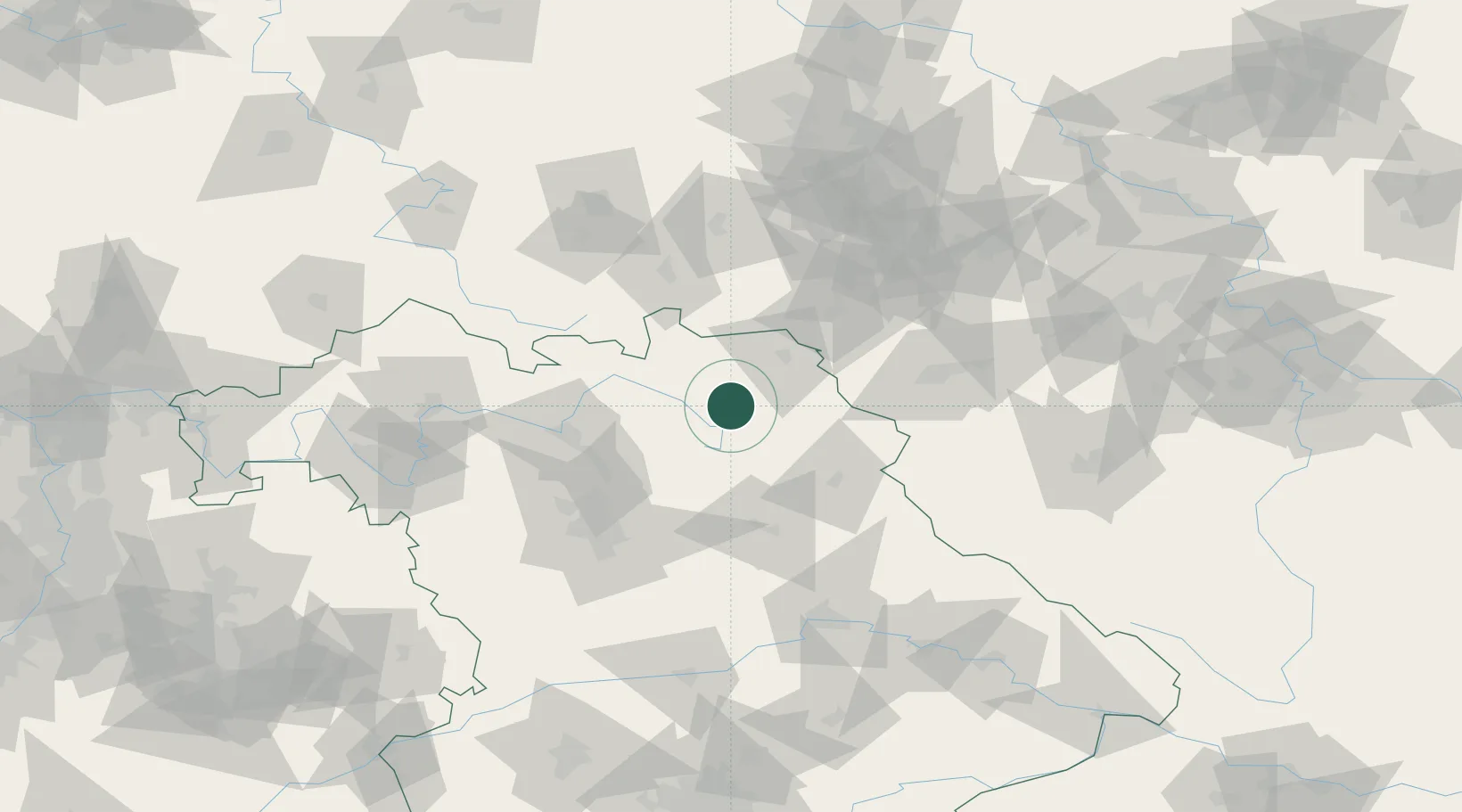
Hub Profile
Region
BY
Location
Nearby Logistics Neighbours
Cities
- 1Goldkronach4 km
- 2Neuenmarkt7 km
- 3Harsdorf8 km
- 4Gefrees8 km
- 5Warmensteinach11 km
Airports
- 1Bayreuth Airport8 km
- 2Hof-Plauen Airport30 km
- 3Grafenwöhr Army Air Field44 km
- 4Bamberg-Breitenau Airfield56 km
- 5Nuremberg Airport75 km
Trade Zones
DatabookThe Record of Consolidated Knowledge
Germany beyond logistics?