Transport Functions
Multimodal
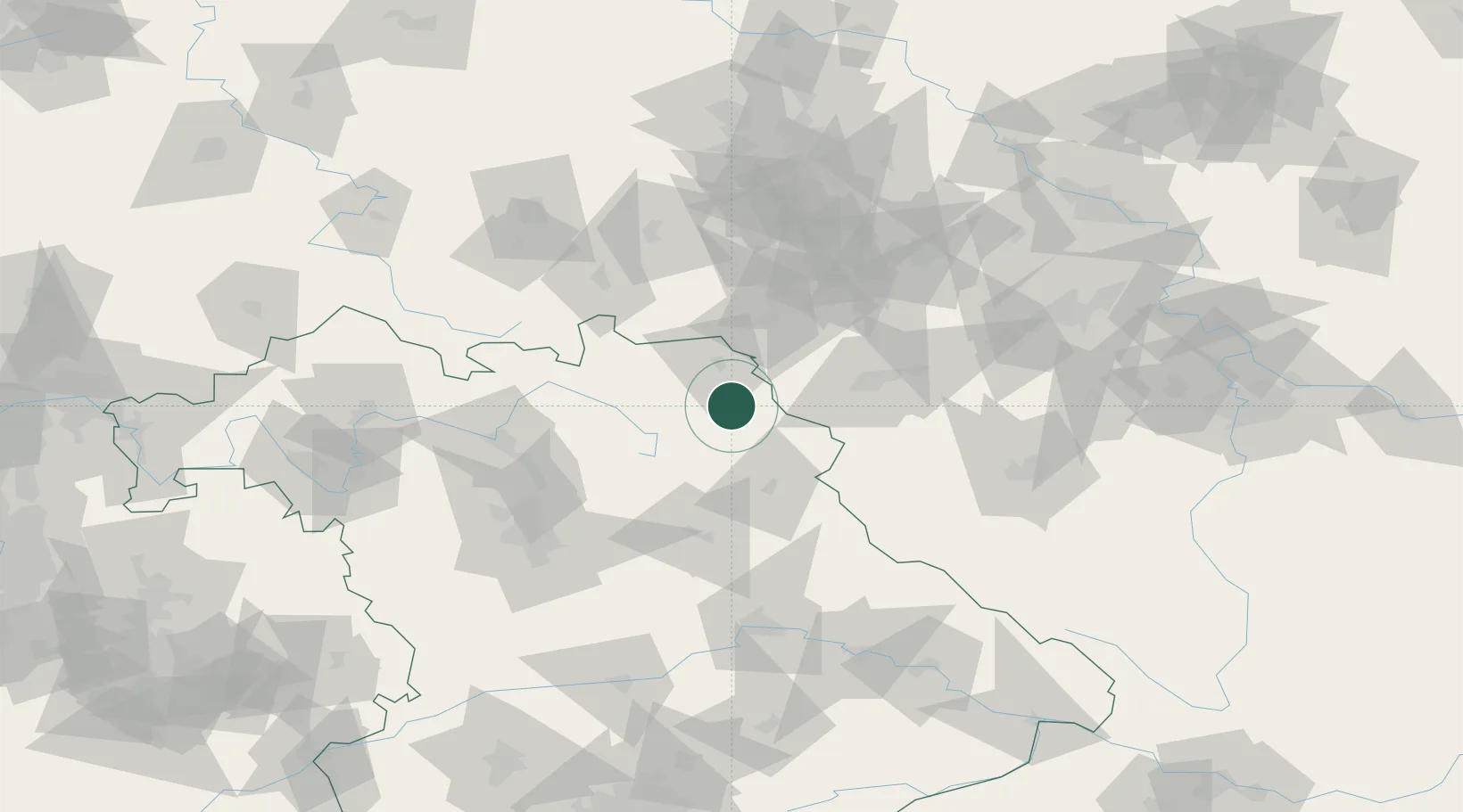
Hub Profile
Place type
Local administrative seat
Region
Bavaria
Population
2,402
Time zone
Europe/Berlin
Elevation
563 m
Location
Nearby Logistics Neighbours
Cities
- 1Marktleuthen6 km
- 2Kirchenlamitz8 km
- 3Torfmoorhölle12 km
- 4Röthenbach14 km
- 5Selb14 km
Airports
- 1Hof-Plauen Airport25 km
- 2Bayreuth Airport27 km
- 3Grafenwöhr Army Air Field43 km
- 4Karlovy Vary Airport68 km
- 5Bamberg-Breitenau Airfield79 km
Trade Zones
DatabookThe Record of Consolidated Knowledge
Germany beyond logistics?