Transport Functions
Multimodal
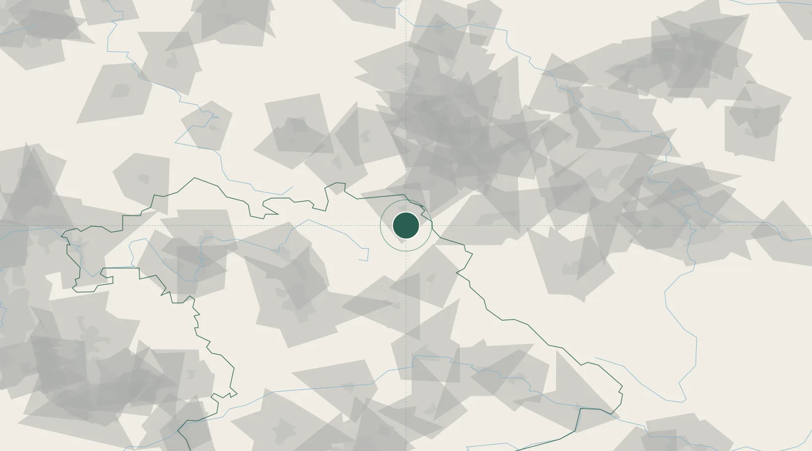
Hub Profile
Place type
Populated place
Region
Bavaria
Population
3,939
Time zone
Europe/Berlin
Elevation
597 m
Location
Nearby Logistics Neighbours
Cities
- 1Marktleuthen4 km
- 2Röslau8 km
- 3Torfmoorhölle11 km
- 4Rehau13 km
- 5Oberkotzau13 km
Airports
- 1Hof-Plauen Airport17 km
- 2Bayreuth Airport29 km
- 3Grafenwöhr Army Air Field50 km
- 4Karlovy Vary Airport69 km
- 5Bamberg-Breitenau Airfield78 km
Trade Zones
DatabookThe Record of Consolidated Knowledge
Germany beyond logistics?