Transport Functions
Multimodal
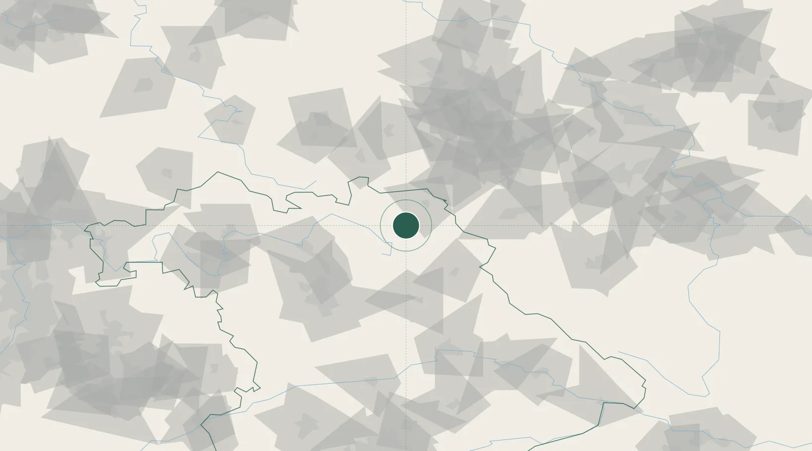
Hub Profile
Place type
Populated place
Region
Bavaria
Population
4,876
Time zone
Europe/Berlin
Elevation
498 m
Location
Nearby Logistics Neighbours
Cities
- 1Torfmoorhölle5 km
- 2Bad Berneck8 km
- 3Goldkronach10 km
- 4Neuenmarkt11 km
- 5Münchberg11 km
Airports
- 1Bayreuth Airport15 km
- 2Hof-Plauen Airport22 km
- 3Grafenwöhr Army Air Field47 km
- 4Bamberg-Breitenau Airfield63 km
- 5Nuremberg Airport82 km
Trade Zones
DatabookThe Record of Consolidated Knowledge
Germany beyond logistics?