Transport Functions
Rail
Road
Hub Profile
Region
ST
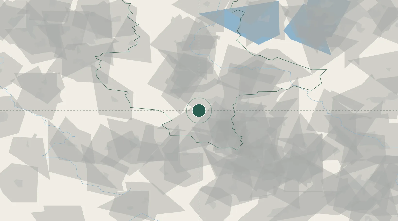
Location
Nearby Logistics Neighbours
Cities
- 1Teutschenthal8 km
- 2Nemsdorf-Göhrendorf8 km
- 3Obhausen8 km
- 4Amsdorf10 km
- 5Röblingen am See10 km
Ports
- 1Hamburg271 km
- 2Wismar281 km
- 3Bremen282 km
- 4Lubeck287 km
- 5Lubeck-Travemunde293 km
Airports
- 1Leipzig/Halle Airport33 km
- 2Leipzig–Altenburg Airport68 km
- 3Erfurt-Weimar Airport72 km
- 4Zerbst Airfield74 km
- 5Eisenach-Kindel Airport100 km
Trade Zones
DatabookThe Record of Consolidated Knowledge
Germany beyond logistics?