Transport Functions
Rail
Road
Hub Profile
Region
ST
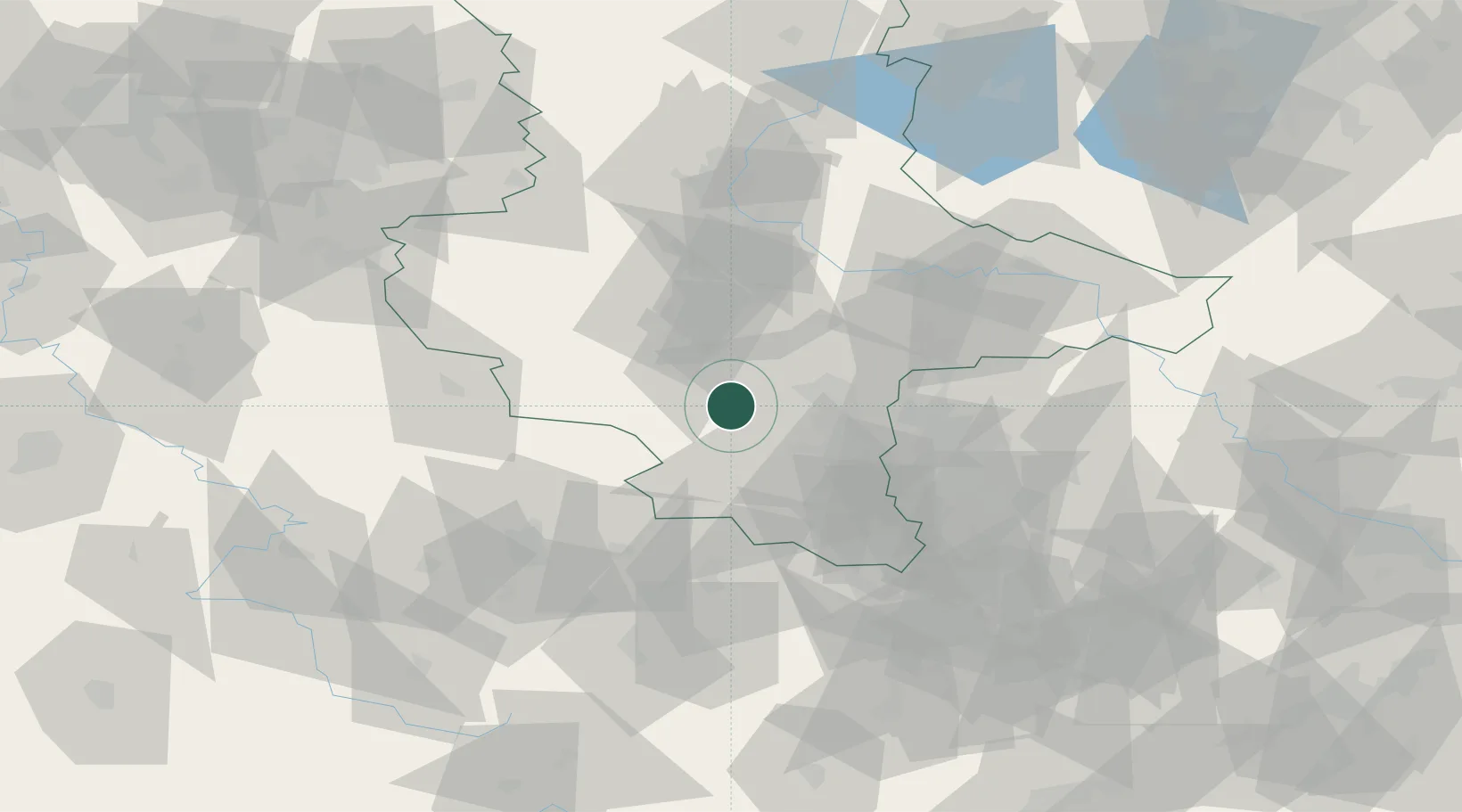
Location
Nearby Logistics Neighbours
Cities
- 1Amsdorf5 km
- 2Obhausen6 km
- 3Querfurt9 km
- 4Teutschenthal9 km
- 5Schafstädt10 km
Airports
- 1Leipzig/Halle Airport39 km
- 2Zerbst Airfield70 km
- 3Erfurt-Weimar Airport72 km
- 4Leipzig–Altenburg Airport78 km
- 5Eisenach-Kindel Airport97 km
Trade Zones
DatabookThe Record of Consolidated Knowledge
Germany beyond logistics?