Transport Functions
Port
Hub Profile
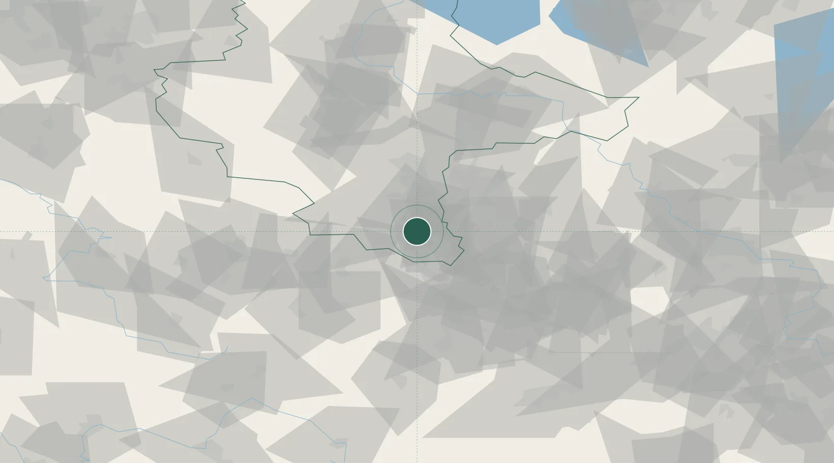
Place type
Populated place
Region
Saxony-Anhalt
Population
3,197
Time zone
Europe/Berlin
Elevation
170 m
Location
Nearby Logistics Neighbours
Cities
- 1Deuben4 km
- 2Meineweh4 km
- 3Schleinitz7 km
- 4Näthern8 km
- 5Osterfeld8 km
Airports
- 1Leipzig/Halle Airport37 km
- 2Leipzig–Altenburg Airport37 km
- 3Erfurt-Weimar Airport75 km
- 4Hof-Plauen Airport93 km
- 5Zerbst Airfield99 km
Trade Zones
DatabookThe Record of Consolidated Knowledge
Germany beyond logistics?