Transport Functions
Multimodal
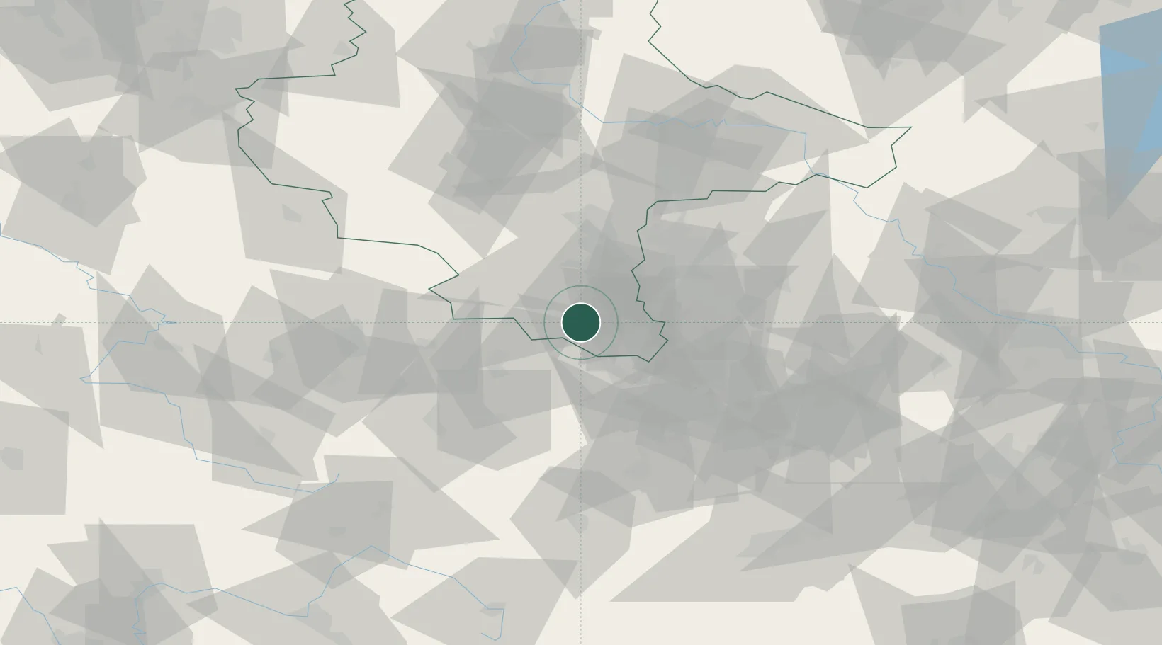
Hub Profile
Place type
Populated place
Region
Saxony-Anhalt
Time zone
Europe/Berlin
Elevation
252 m
Location
Nearby Logistics Neighbours
Ports
- 1Hamburg306 km
- 2Bremen314 km
- 3Wismar315 km
- 4Lubeck322 km
- 5Lubeck-Travemunde328 km
Airports
- 1Leipzig–Altenburg Airport42 km
- 2Leipzig/Halle Airport43 km
- 3Erfurt-Weimar Airport69 km
- 4Hof-Plauen Airport89 km
- 5Eisenach-Kindel Airport102 km
Trade Zones
- 1Žatec - Triangle Strategic Industrial Zone136 km
- 2Most - Joseph Industrial Zone137 km
- 3Podbořany Industrial Zone141 km
- 4Kostrzyń-Słubice SEZ251 km
- 5Freeport of Deggendorf258 km
DatabookThe Record of Consolidated Knowledge
Germany beyond logistics?