Transport Functions
Multimodal
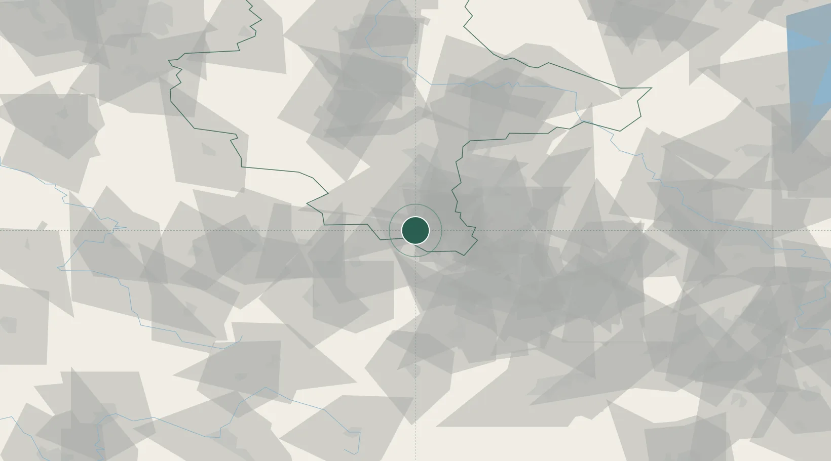
Hub Profile
Place type
Populated place
Region
Saxony-Anhalt
Population
1,365
Time zone
Europe/Berlin
Elevation
219 m
Location
Nearby Logistics Neighbours
Cities
- 1Schleinitz2 km
- 2Meineweh4 km
- 3Görschen6 km
- 4Heideland8 km
- 5Teuchern8 km
Ports
- 1Hamburg308 km
- 2Bremen316 km
- 3Wismar317 km
- 4Lubeck324 km
- 5Lubeck-Travemunde330 km
Airports
- 1Leipzig–Altenburg Airport41 km
- 2Leipzig/Halle Airport45 km
- 3Erfurt-Weimar Airport69 km
- 4Hof-Plauen Airport87 km
- 5Eisenach-Kindel Airport102 km
Trade Zones
- 1Žatec - Triangle Strategic Industrial Zone135 km
- 2Most - Joseph Industrial Zone137 km
- 3Podbořany Industrial Zone139 km
- 4Kostrzyń-Słubice SEZ252 km
- 5Freeport of Deggendorf256 km
DatabookThe Record of Consolidated Knowledge
Germany beyond logistics?