Transport Functions
Port
Multimodal
Hub Profile
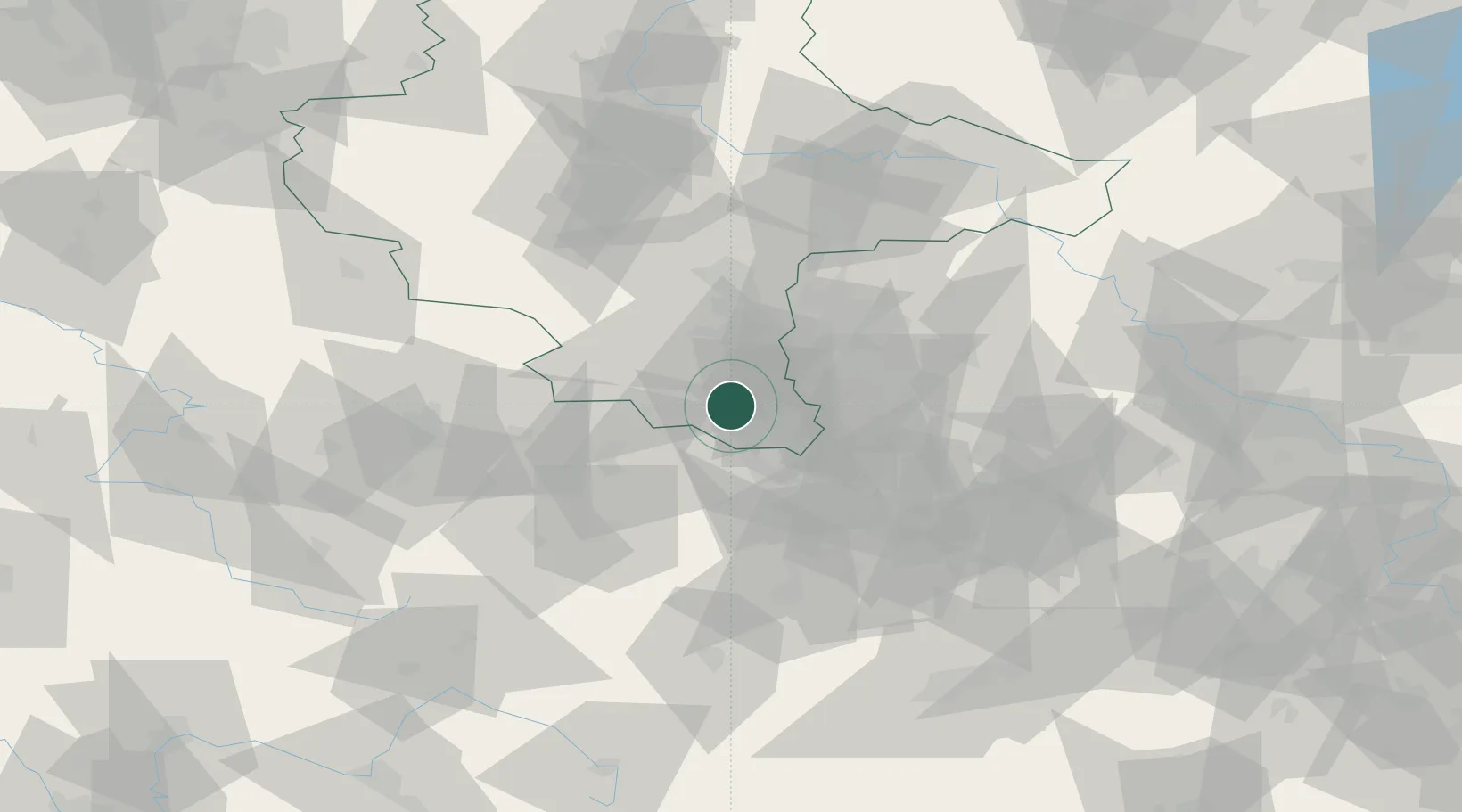
Place type
Populated place
Region
Saxony-Anhalt
Population
659
Time zone
Europe/Berlin
Elevation
261 m
Location
Nearby Logistics Neighbours
Cities
- 1Schleinitz4 km
- 2Osterfeld4 km
- 3Teuchern4 km
- 4Görschen7 km
- 5Deuben7 km
Ports
- 1Hamburg308 km
- 2Wismar315 km
- 3Bremen317 km
- 4Lubeck323 km
- 5Lubeck-Travemunde329 km
Airports
- 1Leipzig–Altenburg Airport38 km
- 2Leipzig/Halle Airport41 km
- 3Erfurt-Weimar Airport73 km
- 4Hof-Plauen Airport89 km
- 5Zerbst Airfield103 km
Trade Zones
DatabookThe Record of Consolidated Knowledge
Germany beyond logistics?