Transport Functions
Rail
Road
Hub Profile
Region
ST
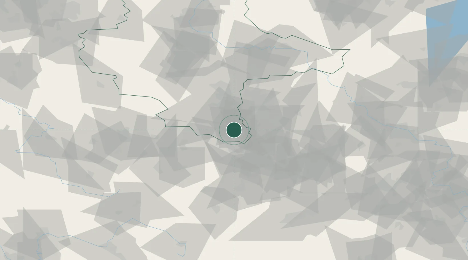
Location
Nearby Logistics Neighbours
Airports
- 1Leipzig–Altenburg Airport30 km
- 2Leipzig/Halle Airport40 km
- 3Erfurt-Weimar Airport80 km
- 4Hof-Plauen Airport88 km
- 5Zerbst Airfield104 km
Trade Zones
DatabookThe Record of Consolidated Knowledge
Germany beyond logistics?