Transport Functions
Multimodal
Hub Profile
Place type
Local administrative seat
Region
Bavaria
Population
1,619
Time zone
Europe/Berlin
Elevation
539 m
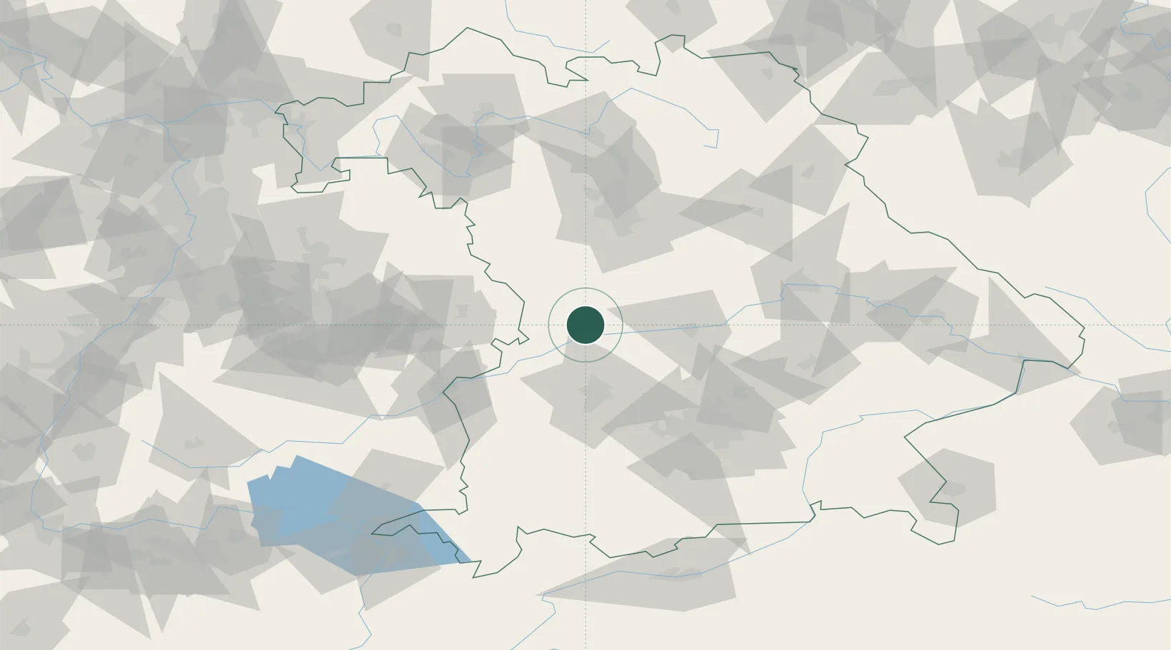
Location
Nearby Logistics Neighbours
Cities
- 1Monheim6 km
- 2Fünfstetten6 km
- 3Genderkingen10 km
- 4Huisheim10 km
- 5Tagmersheim10 km
Ports
- 1Nogaro380 km
- 2Grado390 km
- 3Monfalcone391 km
- 4Porto Di Lido-Venezia393 km
- 5Porto Di Chioggia410 km
Airports
- 1Neuburg Air Base29 km
- 2Augsburg Airport41 km
- 3Ingolstadt Manching Airport52 km
- 4Altstetten Ultralight Field63 km
- 5Lechfeld Air Base67 km
Trade Zones
- 1Freeport of Deggendorf152 km
- 2ZFU Neuhof227 km
- 3ZFU Hautepierre232 km
- 4Podbořany Industrial Zone246 km
- 5Livigno Free Trade Zone256 km
DatabookThe Record of Consolidated Knowledge
Germany beyond logistics?