Transport Functions
Multimodal
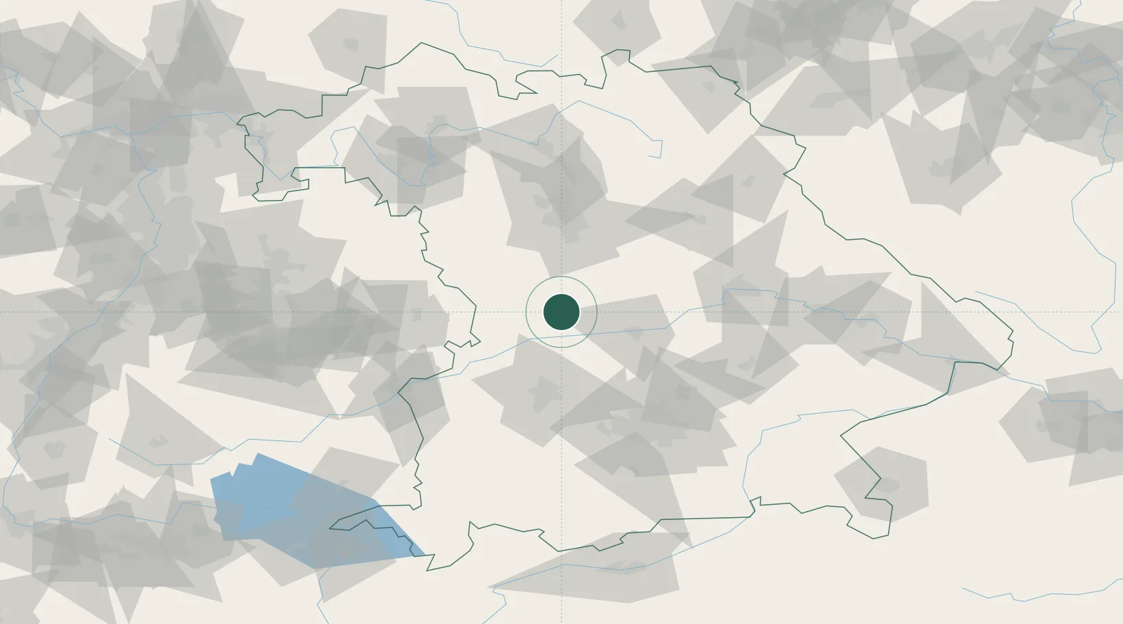
Hub Profile
Place type
Populated place
Region
Bavaria
Time zone
Europe/Berlin
Elevation
405 m
Location
Nearby Logistics Neighbours
Cities
- 1Tagmersheim8 km
- 2Workerszell12 km
- 3Bischberg-Trosdorf13 km
- 4Monheim13 km
- 5Eichstätt13 km
Ports
- 1Nogaro384 km
- 2Grado394 km
- 3Monfalcone395 km
- 4Porto Di Lido-Venezia400 km
- 5Trieste415 km
Airports
- 1Neuburg Air Base25 km
- 2Ingolstadt Manching Airport43 km
- 3Augsburg Airport51 km
- 4Altstetten Ultralight Field68 km
- 5Nuremberg Airport69 km
Trade Zones
- 1Freeport of Deggendorf139 km
- 2Podbořany Industrial Zone229 km
- 3ZFU Neuhof241 km
- 4ZFU Hautepierre245 km
- 5Žatec - Triangle Strategic Industrial Zone248 km
DatabookThe Record of Consolidated Knowledge
Germany beyond logistics?