Transport Functions
Port
Road
Hub Profile
Place type
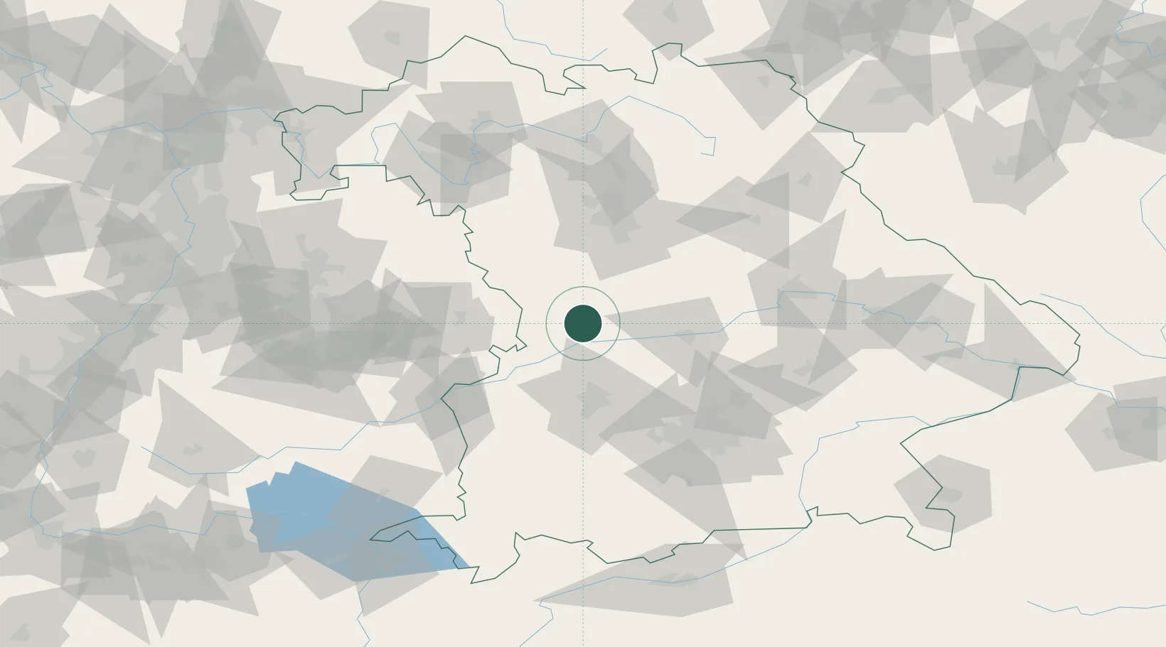
Populated place
Region
Bavaria
Population
4,950
Time zone
Europe/Berlin
Elevation
497 m
Location
Nearby Logistics Neighbours
Cities
- 1Fünfstetten5 km
- 2Buchdorf6 km
- 3Bischberg-Trosdorf9 km
- 4Huisheim10 km
- 5Tagmersheim10 km
Ports
- 1Nogaro384 km
- 2Grado395 km
- 3Monfalcone396 km
- 4Porto Di Lido-Venezia399 km
- 5Porto Di Chioggia415 km
Airports
- 1Neuburg Air Base31 km
- 2Augsburg Airport46 km
- 3Ingolstadt Manching Airport53 km
- 4Altstetten Ultralight Field67 km
- 5Lechfeld Air Base72 km
Trade Zones
- 1Freeport of Deggendorf152 km
- 2ZFU Neuhof228 km
- 3ZFU Hautepierre232 km
- 4Podbořany Industrial Zone242 km
- 5Žatec - Triangle Strategic Industrial Zone260 km
DatabookThe Record of Consolidated Knowledge
Germany beyond logistics?