Transport Functions
Multimodal
Hub Profile
Region
ST
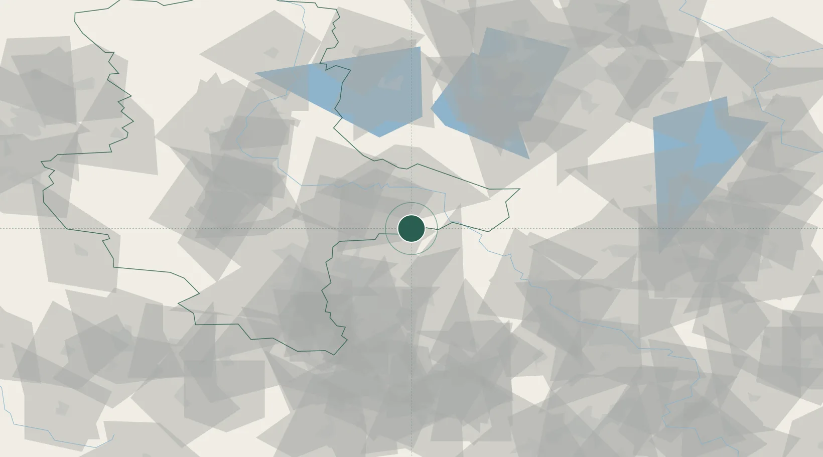
Location
Nearby Logistics Neighbours
Cities
- 1Laussig9 km
- 2Schlaitz14 km
- 3Pretzsch (Elbe)15 km
- 4Gräfenhainichen16 km
- 5Mockrehna19 km
Ports
- 1Szczecin237 km
- 2Police252 km
- 3Wismar264 km
- 4Rostock276 km
- 5Swinoujscie277 km
Airports
- 1Leipzig/Halle Airport36 km
- 2Holzdorf Air Base40 km
- 3Zerbst Airfield53 km
- 4Leipzig–Altenburg Airport73 km
- 5Dresden Airport96 km
Trade Zones
DatabookThe Record of Consolidated Knowledge
Germany beyond logistics?