UN/LOCODE hub · Germany
DESL2

Schlaitz

51.6667°, 12.4333°
1,007
Population
1
Transport functions

Transport Functions

Multimodal
UN/LOCODE

Hub Profile

Place type
Populated place
GeoNames
Region
Saxony-Anhalt
GeoNames
Population
1,007
GeoNames
Time zone
Europe/Berlin
GeoNames
Elevation
99 m
GeoNames

Location

Location of DESL2
Natural Earth 10m (public domain) · Saxony-Anhalt · DESL2 · 51.67, 12.43GoogleOSMYandex

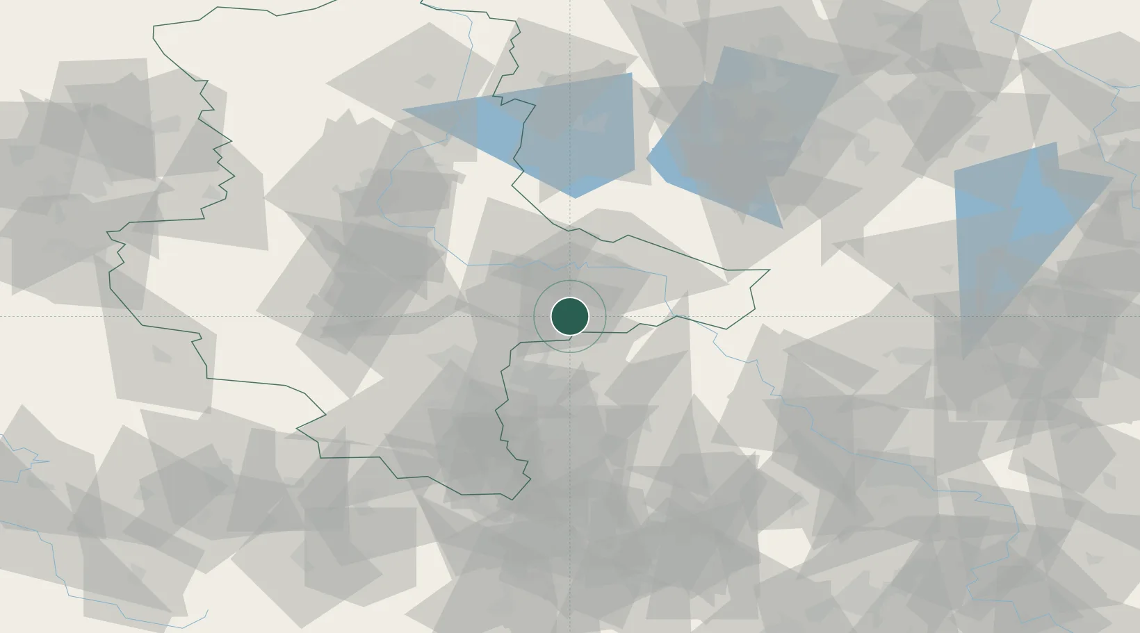
Nearby Logistics Neighbours

Cities
  1. 1Gräfenhainichen6 km
  2. 2Söllichau14 km
  3. 3Oranienbaum15 km
  4. 4Bergwitz18 km
  5. 5Grosszöberitz18 km
Nearest neighbours — logibook spatial index (haversine) over the source coordinates
Ports
  1. 1Szczecin242 km
  2. 2Police256 km
  3. 3Wismar257 km
  4. 4Hamburg269 km
  5. 5Rostock271 km
Nearest neighbours — logibook spatial index (haversine) over the source coordinates
Airports
  1. 1Leipzig/Halle Airport31 km
  2. 2Zerbst Airfield42 km
  3. 3Holzdorf Air Base52 km
  4. 4Leipzig–Altenburg Airport76 km
  5. 5Berlin Brandenburg Airport106 km
Nearest neighbours — logibook spatial index (haversine) over the source coordinates
Trade Zones
  1. 1Most - Joseph Industrial Zone156 km
  2. 2Žatec - Triangle Strategic Industrial Zone161 km
  3. 3Podbořany Industrial Zone174 km
  4. 4Kostrzyń-Słubice SEZ183 km
  5. 5Szczecin Duty Free Zone243 km
Nearest neighbours — logibook spatial index (haversine) over the source coordinates
DatabookThe Record of Consolidated Knowledge
Germany beyond logistics?
Browse databook

All Sources

LocationsUN/LOCODE
UN/LOCODE — free
LocationsGeoNames
CC BY 4.0
Portsthe NGA World Port Index
Public domain (US gov)
AirportsOurAirports
Public domain
Trade Zonesthe World Bank SEZ database
CC BY 4.0
Trade ZonesOpen Zone Map
CC BY
← Germany locations