Transport Functions
Port
Multimodal
Hub Profile
Place type
Local administrative seat
Region
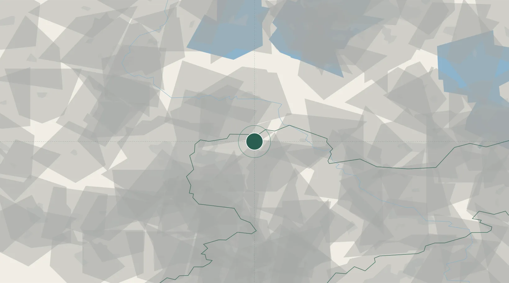
Saxony
Population
2,082
Time zone
Europe/Berlin
Elevation
95 m
Location
Nearby Logistics Neighbours
Ports
- 1Szczecin245 km
- 2Police260 km
- 3Wismar273 km
- 4Swinoujscie285 km
- 5Rostock286 km
Airports
- 1Leipzig/Halle Airport31 km
- 2Holzdorf Air Base44 km
- 3Zerbst Airfield60 km
- 4Leipzig–Altenburg Airport64 km
- 5Dresden Airport91 km
Trade Zones
DatabookThe Record of Consolidated Knowledge
Germany beyond logistics?