Transport Functions
Multimodal
Hub Profile
Place type
Local administrative seat
Region
Saxony
Population
5,718
Time zone
Europe/Berlin
Elevation
104 m
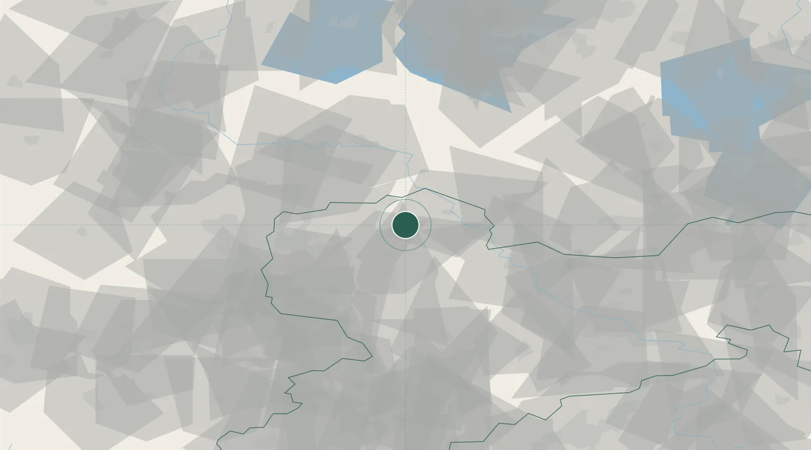
Location
Nearby Logistics Neighbours
Cities
- 1Hohburg9 km
- 2Falkenhain11 km
- 3Thallwitz12 km
- 4Laussig13 km
- 5Kabelsketal16 km
Ports
- 1Szczecin244 km
- 2Police259 km
- 3Wismar282 km
- 4Swinoujscie286 km
- 5Wolgast291 km
Airports
- 1Holzdorf Air Base39 km
- 2Leipzig/Halle Airport40 km
- 3Leipzig–Altenburg Airport61 km
- 4Zerbst Airfield72 km
- 5Dresden Airport79 km
Trade Zones
DatabookThe Record of Consolidated Knowledge
Germany beyond logistics?