Transport Functions
Rail
Road
Hub Profile
Region
ST
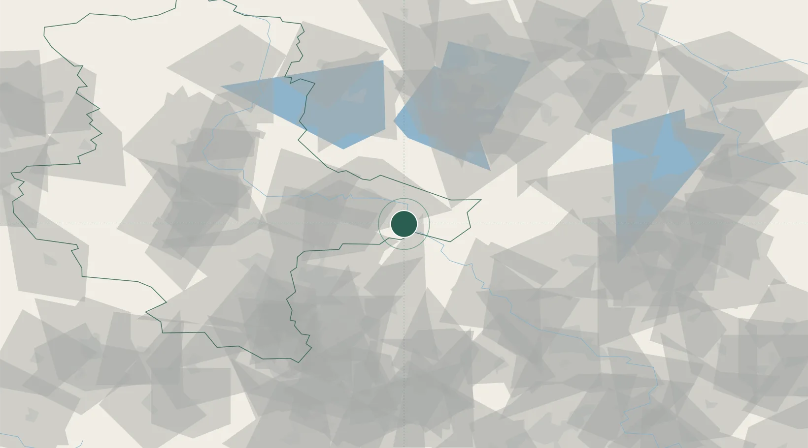
Location
Nearby Logistics Neighbours
Ports
- 1Szczecin223 km
- 2Police238 km
- 3Wismar259 km
- 4Swinoujscie264 km
- 5Wolgast268 km
Airports
- 1Holzdorf Air Base26 km
- 2Leipzig/Halle Airport51 km
- 3Zerbst Airfield55 km
- 4Leipzig–Altenburg Airport84 km
- 5Berlin Brandenburg Airport86 km
Trade Zones
DatabookThe Record of Consolidated Knowledge
Germany beyond logistics?