Transport Functions
Port
Multimodal
Hub Profile
Region
ST
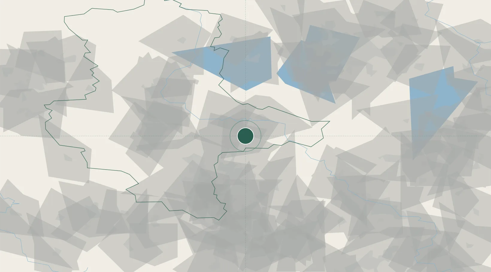
Location
Nearby Logistics Neighbours
Cities
- 1Schlaitz6 km
- 2Oranienbaum10 km
- 3Bergwitz13 km
- 4Söllichau16 km
- 5Coswig19 km
Airports
- 1Leipzig/Halle Airport36 km
- 2Zerbst Airfield38 km
- 3Holzdorf Air Base50 km
- 4Leipzig–Altenburg Airport82 km
- 5Berlin Brandenburg Airport102 km
Trade Zones
- 1Most - Joseph Industrial Zone160 km
- 2Žatec - Triangle Strategic Industrial Zone165 km
- 3Podbořany Industrial Zone179 km
- 4Kostrzyń-Słubice SEZ179 km
- 5Szczecin Duty Free Zone238 km
DatabookThe Record of Consolidated Knowledge
Germany beyond logistics?