Transport Functions
Rail
Road
Hub Profile
Region
SH
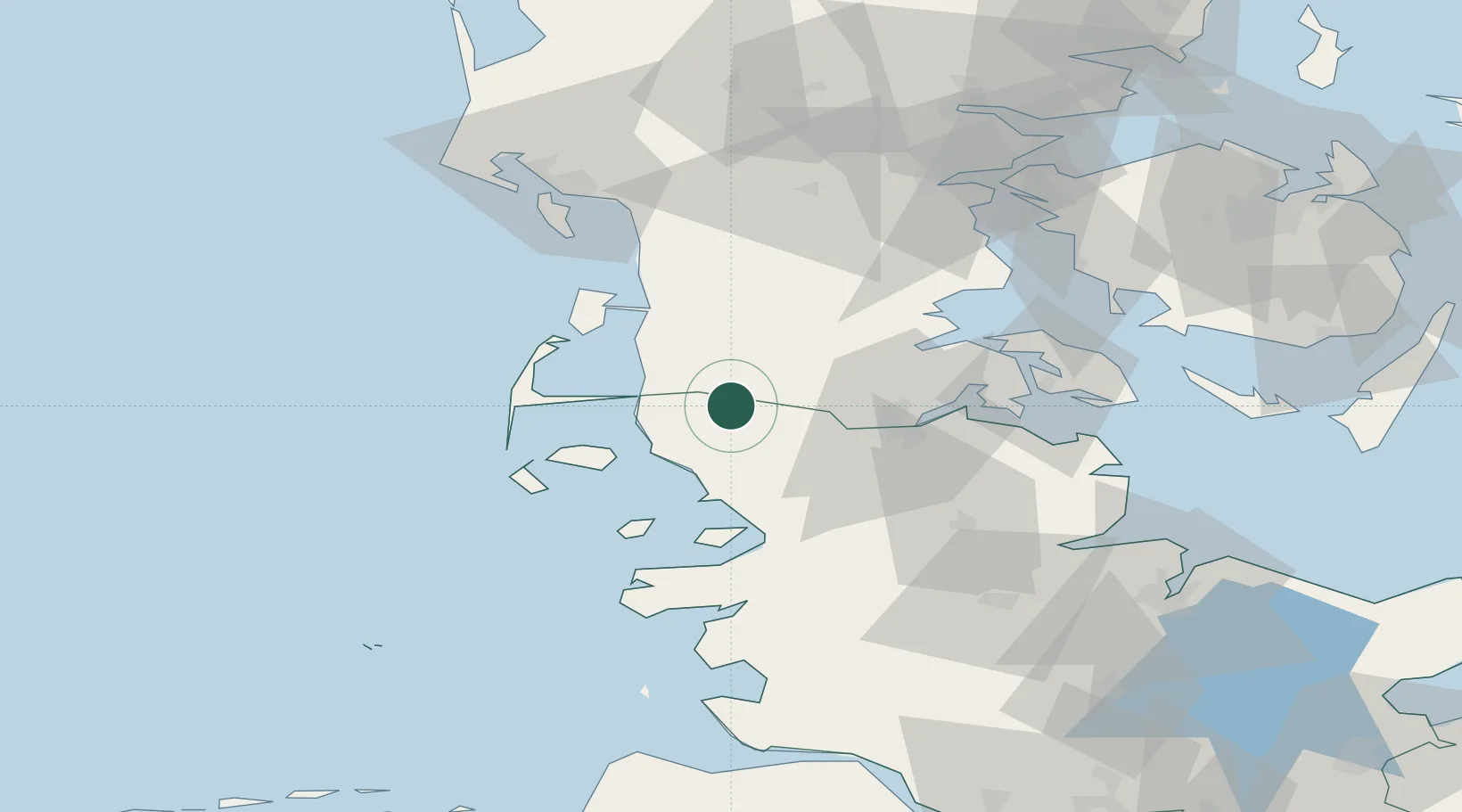
Location
Nearby Logistics Neighbours
Cities
- 1Neukirchen13 km
- 2Risum-Lindholm14 km
- 3Schluettsiel23 km
- 4Padborg28 km
- 5Gröde29 km
Ports
- 1Flensburg34 km
- 2Ensted37 km
- 3Abenra39 km
- 4Husum44 km
- 5Sonderborg56 km
Airports
- 1Westerland Sylt Airport37 km
- 2Skrydstrup Air Base45 km
- 3Sønderborg Airport57 km
- 4Schleswig Air Base60 km
- 5Kolding Vamdrup Airfield69 km
Trade Zones
DatabookThe Record of Consolidated Knowledge
Germany beyond logistics?